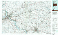
1984 Map of Harrisburg
USGS Topo · Published 1985About this map
The Susquehanna River dominates this 1980s landscape, serving as the primary corridor for the industrial and urban development of central Pennsylvania. The state capital of Harrisburg serves as the hub for a dense network of transit, including the Conrail and Amtrak rail lines and a web of modern interstates. Beyond the industrial centers of Steelton and Middletown, the map illustrates the transition from urban density to the expansive recreational and military lands to the north and east. The Fort Indiantown Gap Military Reservation occupies a significant footprint below Blue Mountain, while numerous state game lands and Gifford Pinchot State Park define the outlying terrain. This survey captures the region as its suburban reaches, such as Colonial Park and Progress, had fully matured around the historic chocolate-manufacturing center of Hershey.
Find a feature on this map
261 named features on this map. Tap any name to fly to it.
Don’t see what you’re looking for? This feature index may not catch every label — zoom into the map to look around manually.
Map Details
Editions of this 1984 Harrisburg Map
2 editions found
Historical Maps of Haven Croft Through Time
10 maps found
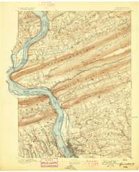
1892 Harrisburg
Dauphin County, PA
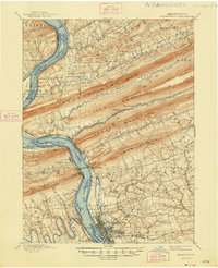
1899 Harrisburg
Dauphin County, PA

1924 Harrisburg
Dauphin County, PA
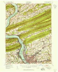
1943 Harrisburg
Dauphin County, PA

1950 Harrisburg
Dauphin County, PA
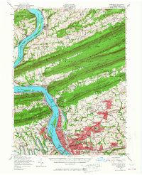
1956 Harrisburg
Dauphin County, PA
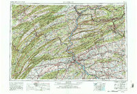
1957 Harrisburg
Dauphin County, PA
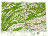
1961 Harrisburg
Dauphin County, PA

1964 Harrisburg
Dauphin County, PA
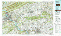
1984 Harrisburg
Dauphin County, PA
Featured Locations
- Lancaster, PA
- West Lampeter Township, PA
- Harrisburg, PA
- Lebanon, PA
- Colonial Park, Lower Paxton Township