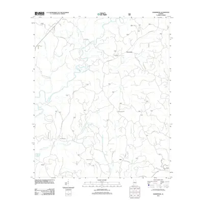
2011 Map of Harrisburg
USGS Topo · Published 2011About this map
The Cahaba River winds through the heart of this landscape, its path defining the rural character of western Bibb County. Much of the western half of the terrain is protected within the Talladega National Forest, where a network of secondary roads like Upper River Rd and Double Branch Rd connect small clearings and homesteads. The topography is deeply dissected by numerous watercourses, including the curiously named Potato Patch Creek and Blue Girth Creek, indicating a land shaped by drainage and silted bottoms like James Bottom.
Find a feature on this map
34 named features on this map. Tap any name to fly to it.
Don’t see what you’re looking for? This feature index may not catch every label — zoom into the map to look around manually.
Map Details
Editions of this 2011 Harrisburg Map
This is the sole edition of this map. No revisions or reprints were ever made.
Other maps of this area

1953 · Montgomery
USGS Topo · 1:250,000

1956 · Montgomery
USGS Topo · 1:250,000

1957 · Montgomery
USGS Topo · 1:250,000

1959 · Summerfield
USGS Topo · 1:62,500

1979 · Marion North
USGS Topo · 1:24,000

1979 · Harrisburg
USGS Topo · 1:24,000

1979 · Pondville
USGS Topo · 1:24,000
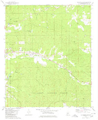
1980 · Centreville East
USGS Topo · 1:24,000
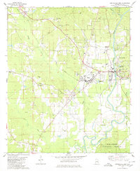
1980 · Centreville West
USGS Topo · 1:24,000
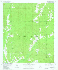
1980 · Oakmulgee
USGS Topo · 1:24,000