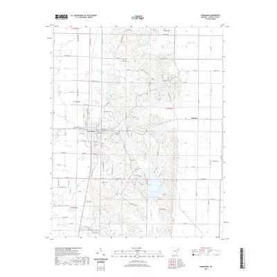
2020 Map of Harrisburg
USGS Topo · Published 2020About this map
The Poinsett County Courthouse serves as the civic anchor for Harrisburg, a settlement defined by its position between the flat Crowley's Ridge terrain and the lower drainage basins to the east. This landscape is marked by numerous family and community burial grounds, including Bolivar Cem, Harris Cem, and Bethel Cem, which offer significant data points for genealogical research in this part of Poinsett County. Water management is a central theme of the geography here, with Lake Poinsett and Wayne Carter Lake providing large catchments, while smaller named tributaries like Holly Springs Br and England Cr carve through the local topography. Further north, the small community of Whitaker sits along the road network near the Big Cr drainage. The map's detailed plotting of rural roads, such as Old Military Ln and Weiner Cutoff Rd, reveals the historic transportation patterns that have connected these agricultural and residential areas for generations.
Find a feature on this map
110 named features on this map. Tap any name to fly to it.
Don’t see what you’re looking for? This feature index may not catch every label — zoom into the map to look around manually.
Map Details
Editions of this 2020 Harrisburg Map
This is the sole edition of this map. No revisions or reprints were ever made.
Other maps of this area

1939 · Vanndale
USGS Topo · 1:62,500

1939 · Weiner
USGS Topo · 1:62,500

1940 · Princedale
USGS Topo · 1:62,500

1940 · Dee
USGS Topo · 1:62,500

1953 · Memphis
USGS Topo · 1:250,000

1956 · Memphis
USGS Topo · 1:250,000

1956 · Princedale
USGS Topo · 1:62,500

1958 · Dee
USGS Topo · 1:62,500

1958 · Vanndale
USGS Topo · 1:62,500

1959 · Weiner
USGS Topo · 1:62,500