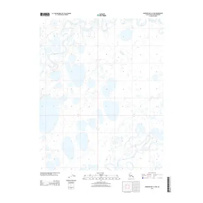
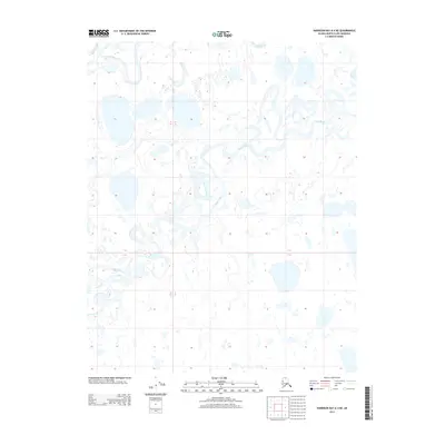
2013 Map of Harrison Bay A-4 NW
USGS Topo · Published 2013About this map
Fish Creek and Judy Creek wind through this section of the Arctic coastal plain, forming a complex network of meandering channels and oxbow lakes characteristic of the North Slope's drainage patterns. This 2013 survey illustrates a landscape dominated by thermokarst lakes and thaw ponds, where the hydrological transition between Townships 9 and 10 North reveals the intricate shifting of water across the permafrost. The absence of roads or permanent structures underscores the remote nature of this wilderness, primarily defined by the seasonal flow of these major waterways toward Harrison Bay. For those studying Arctic geography or environmental changes, the detailed hydrography provided by the U. S. Geological Survey offers a precise baseline of the shoreline and waterway configurations in the early 21st century.
Find a feature on this map
4 named features on this map. Tap any name to fly to it.
Don’t see what you’re looking for? This feature index may not catch every label — zoom into the map to look around manually.
Map Details
Editions of this 2013 Harrison Bay A-4 NW Map
This is the sole edition of this map. No revisions or reprints were ever made.
Other maps of this area

1951 · Harrison Bay
USGS Topo · 1:250,000

1955 · Harrison Bay
USGS Topo · 1:250,000

1955 · Harrison Bay A-4
USGS Topo · 1:63,360

1955 · Harrison Bay B-5
USGS Topo · 1:63,360

1955 · Harrison Bay A-5
USGS Topo · 1:63,360

1955 · Harrison Bay B-4
USGS Topo · 1:63,360
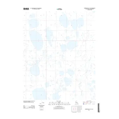
2013 · Harrison Bay A-4 SE
USGS Topo · 1:25,000
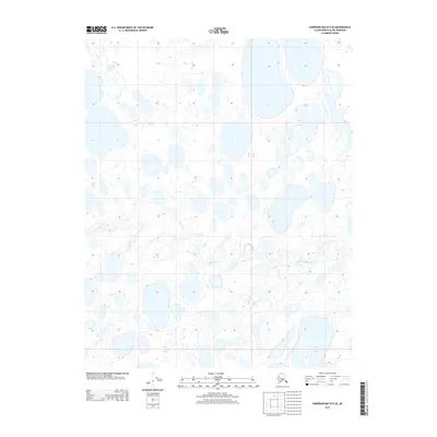
2013 · Harrison Bay B-5 SE
USGS Topo · 1:25,000
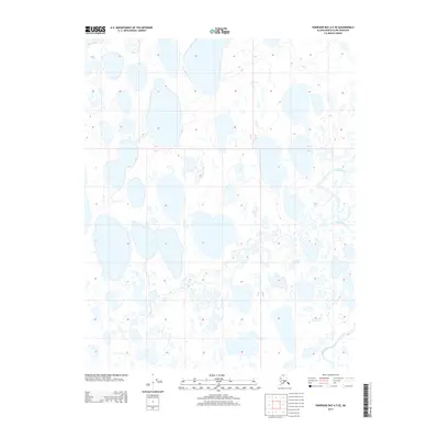
2013 · Harrison Bay A-5 SE
USGS Topo · 1:25,000
2013 · Harrison Bay A-4 NE
USGS Topo · 1:25,000