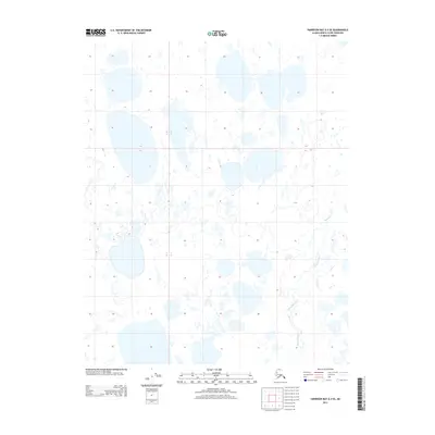
2013 Map of Harrison Bay A-4 SE
USGS Topo · Published 2013About this map
The Ublutuoch River meanders across this Arctic landscape, defining the eastern portion of a terrain dominated by an intricate network of thaw lakes and wetlands. Located in the Alaska-North Slope Borough, the area is characterized by low-relief tundra where the drainage patterns of the river are the primary geographic markers. This 2013 survey reflects the modern geospatial record of the region's hydrography, showing the braided nature of the watercourse as it passes through the remote township lines of T 9 N and T 8 N. The absence of roads or permanent structures on the map underscores the isolation of this North Slope environment, where the shifting boundaries of water and land are the most prominent features for those studying Arctic hydrology or regional land management.
Find a feature on this map
3 named features on this map. Tap any name to fly to it.
Don’t see what you’re looking for? This feature index may not catch every label — zoom into the map to look around manually.
Map Details
Editions of this 2013 Harrison Bay A-4 SE Map
This is the sole edition of this map. No revisions or reprints were ever made.
Other maps of this area

1951 · Harrison Bay
USGS Topo · 1:250,000

1952 · Umiat
USGS Topo · 1:250,000

1955 · Harrison Bay
USGS Topo · 1:250,000

1955 · Harrison Bay A-4
USGS Topo · 1:63,360

1955 · Harrison Bay A-3
USGS Topo · 1:63,360

1955 · Umiat D-3
USGS Topo · 1:63,360
1955 · Umiat D-4
USGS Topo · 1:63,360

1956 · Umiat
USGS Topo · 1:250,000

1964 · Umiat
USGS Topo · 1:250,000
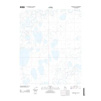
2013 · Harrison Bay A-4 NW
USGS Topo · 1:25,000