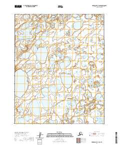
2020 Map of Harrison Bay A-4 NW
USGS Topo · Published 2020About this map
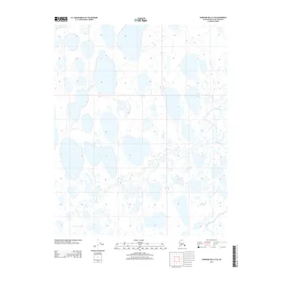
Fish Creek winds through the northwestern corner of this remote North Slope landscape, part of a complex arctic drainage system that defines the region. The terrain is characterized by an intricate network of wetlands and small water bodies typical of the Alaskan tundra near the coast. Towards the southeast, Judy Creek enters the frame, illustrating the seasonal water patterns that have historically shaped local navigation and subsistence in this part of the borough. The map clearly delineates the t10n r2w and t10n r1w township boundaries, providing a structural look at the public land survey system in an area defined more by its natural hydrography than by human infrastructure.
Find a feature on this map
6 named features on this map. Tap any name to fly to it.
Don’t see what you’re looking for? This feature index may not catch every label — zoom into the map to look around manually.
Map Details
Editions of this 2020 Harrison Bay A-4 NW Map
This is the sole edition of this map. No revisions or reprints were ever made.
Other maps of this area

1951 · Harrison Bay
USGS Topo · 1:250,000

1955 · Harrison Bay
USGS Topo · 1:250,000

1955 · Harrison Bay A-4
USGS Topo · 1:63,360

1955 · Harrison Bay B-5
USGS Topo · 1:63,360

1955 · Harrison Bay A-5
USGS Topo · 1:63,360

1955 · Harrison Bay B-4
USGS Topo · 1:63,360
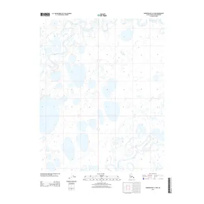
2013 · Harrison Bay A-4 NW
USGS Topo · 1:25,000
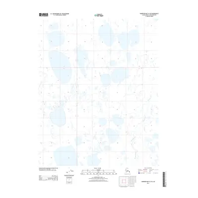
2013 · Harrison Bay A-4 SE
USGS Topo · 1:25,000
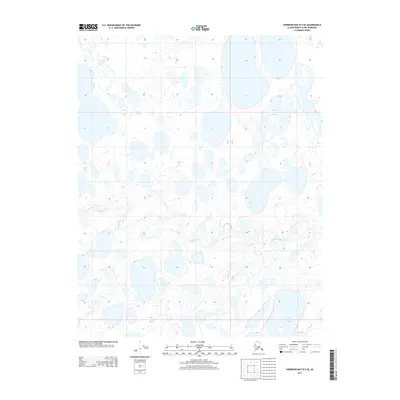
2013 · Harrison Bay B-5 SE
USGS Topo · 1:25,000
2013 · Harrison Bay A-5 SE
USGS Topo · 1:25,000