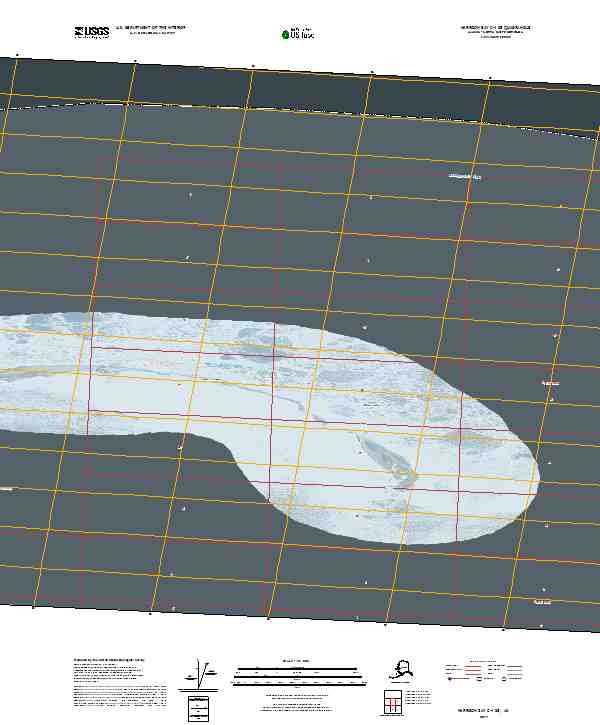
2017 Map of Harrison Bay C-1 SE
USGS Topo · Published 2017About this map
Beaufort Sea coastal waters define the northern reaches of this North Slope survey, where the icy maritime landscape of northern Alaska meets the barrier islands of the Arctic. The map captures a transitional zone of the maritime environment, featuring the Jones Islands and Thetis Island as they sit positioned between the open sea and the more protected waters of Harrison Bay. This specific location illustrates the complex hydrography of the Alaskan coast, where sandbars and low-lying islands serve as the primary landmarks in an otherwise fluid seascape. The absence of terrestrial roads or established settlements emphasizes the remote character of this region within the Alaska North Slope Borough, focusing purely on the intersection of Arctic oceanography and the coastal islands that shield the bay.
Find a feature on this map
8 named features on this map. Tap any name to fly to it.
Don’t see what you’re looking for? This feature index may not catch every label — zoom into the map to look around manually.
Map Details
Editions of this 2017 Harrison Bay C-1 SE Map
This is the sole edition of this map. No revisions or reprints were ever made.
Other maps of this area

1951 · Harrison Bay
USGS Topo · 1:250,000

1951 · Beechey Point
USGS Topo · 1:250,000

1955 · Harrison Bay
USGS Topo · 1:250,000

1955 · Beechey Point
USGS Topo · 1:250,000

1955 · Harrison Bay C-1
USGS Topo · 1:63,360

1955 · Harrison Bay B-1
USGS Topo · 1:63,360
1955 · Beechey Point C-5
USGS Topo · 1:63,360

1955 · Beechey Point B-5
USGS Topo · 1:63,360

1960 · Beechey Point
USGS Topo · 1:250,000
1962 · Harrison Bay B-1
USGS Topo · 1:50,000