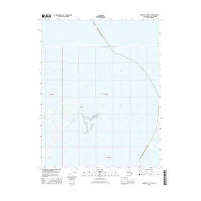
2016 Map of Harrison Bay C-3 SW
USGS Topo · Published 2016About this map
Atigaru Point defines the limited terrestrial presence on this coastal survey, where the Beaufort Sea meets the Arctic edge of the Alaska - North Slope Borough. Most of the map is dominated by the waters of Harrison Bay, a critical maritime feature of the Alaskan North Slope. The landscape at the shoreline is characterized by complex wetlands and small, shifting water bodies typical of the region's permafrost-influenced geography. This 2016 edition, part of the US Topo series, uses imagery from 2009 to 2015 to document the delicate boundary between the tundra and the sea, providing a precise look at the township and range lines of t14n r1e and t14n r2e as they extend into the coastal waters.
Find a feature on this map
7 named features on this map. Tap any name to fly to it.
Don’t see what you’re looking for? This feature index may not catch every label — zoom into the map to look around manually.
Map Details
Editions of this 2016 Harrison Bay C-3 SW Map
This is the sole edition of this map. No revisions or reprints were ever made.
Other maps of this area

1951 · Harrison Bay
USGS Topo · 1:250,000

1955 · Harrison Bay
USGS Topo · 1:250,000

1955 · Harrison Bay B-3
USGS Topo · 1:63,360
1955 · Harrison Bay C-3
USGS Topo · 1:63,360

1955 · Harrison Bay C-4
USGS Topo · 1:63,360

1955 · Harrison Bay B-4
USGS Topo · 1:63,360
1962 · Harrison Bay C-3
USGS Topo · 1:50,000
1962 · Harrison Bay B-3
USGS Topo · 1:50,000
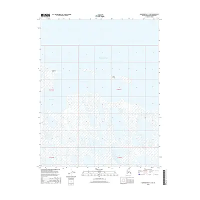
2016 · Harrison Bay C-4 SE
USGS Topo · 1:25,000
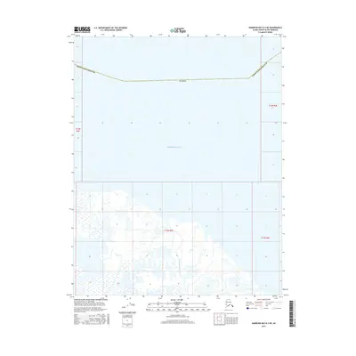
2016 · Harrison Bay B-3 NE
USGS Topo · 1:25,000