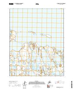
2020 Map of Harrison Bay C-4 SE
USGS Topo · Published 2020About this map
Harrison Bay dominates the northern expanse of this North Slope coastal survey, meeting the Arctic shoreline at a complex interface of water and land. The map illustrates a remote landscape where the Kogru River flows through a dense network of wetlands and tundra before reaching the coast. This environment is characterized by its dynamic geography, featuring the prominent Saktuina Point and the isolated Eskimo Islands situated within the bay. These features imply a region shaped by seasonal shifts and the unique hydrology of the Alaskan north. While modern surveying techniques were used for this 2020 edition, the lack of infrastructure or man-made structures highlights the untouched nature of this specific coastal reach within the North Slope Borough.
Find a feature on this map
8 named features on this map. Tap any name to fly to it.
Don’t see what you’re looking for? This feature index may not catch every label — zoom into the map to look around manually.
Map Details
Editions of this 2020 Harrison Bay C-4 SE Map
This is the sole edition of this map. No revisions or reprints were ever made.
Other maps of this area

1951 · Harrison Bay
USGS Topo · 1:250,000

1955 · Harrison Bay
USGS Topo · 1:250,000

1955 · Harrison Bay B-3
USGS Topo · 1:63,360
1955 · Harrison Bay C-3
USGS Topo · 1:63,360

1955 · Harrison Bay C-4
USGS Topo · 1:63,360

1955 · Harrison Bay B-4
USGS Topo · 1:63,360
1962 · Harrison Bay C-3
USGS Topo · 1:50,000
1962 · Harrison Bay B-3
USGS Topo · 1:50,000
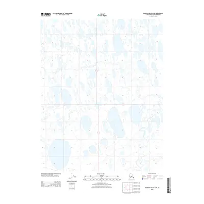
2013 · Harrison Bay B-4 NW
USGS Topo · 1:25,000
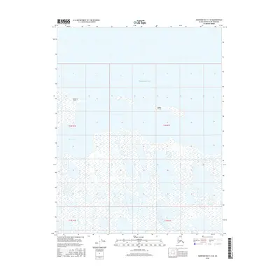
2016 · Harrison Bay C-4 SE
USGS Topo · 1:25,000