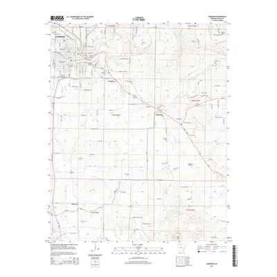
2014 Map of Harrison
USGS Topo · Published 2014About this map
Harrison and its surrounding Boone County landscape are defined by the winding course of Crooked Creek and its many tributaries. The area around Bellefonte and Chapman shows a dense network of local roads and family-named cemeteries, reflecting a deeply rooted community structure. Significant local landmarks include the N Arkansas Coll campus and the prominent Pilot Mtn rising to the south. The map documents numerous smaller burial grounds such as Milum Cem and Holmes Cem, which serve as vital touchstones for genealogical research. The natural topography is highlighted by features like Huzzah Prairie and Gooch Hollow, while the drainage patterns of Brush Cr and Wilson Spring illustrate the complex karst-influenced hydrology of the Ozark plateau.
Find a feature on this map
144 named features on this map. Tap any name to fly to it.
Don’t see what you’re looking for? This feature index may not catch every label — zoom into the map to look around manually.
Map Details
Editions of this 2014 Harrison Map
This is the sole edition of this map. No revisions or reprints were ever made.
Other maps of this area

1893 · Yellville
USGS Topo · 1:125,000

1903 · Yellville
USGS Topo · 1:125,000

1904 · Harrison
USGS Topo · 1:125,000

1905 · Harrison
USGS Topo · 1:125,000

1905 · Yellville
USGS Topo · 1:125,000

1929 · Yellville
USGS Topo · 1:125,000

1945 · Harrison
USGS Topo · 1:250,000

1949 · Harrison
USGS Topo · 1:250,000

1954 · Harrison
USGS Topo · 1:250,000

1958 · Harrison
USGS Topo · 1:250,000