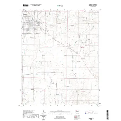
2020 Map of Harrison
USGS Topo · Published 2020About this map
Boone County Courthouse serves as the central anchor for Harrison, a city defined by its position at the crossing of major routes and its proximity to the winding Crooked Creek. The street grid north of Wilson Ave reveals a densely developed regional hub, while the surrounding landscape transitions into the rolling terrain of the Ozarks, marked by family burial grounds and small communities like Bellefonte and Elmwood. A significant concentration of historical interest is found in the local cemeteries, including Maplewood Cem, Rose Hill Cem, and Fick Cem, which are scattered throughout the residential and rural areas. Educational and civic infrastructure is prominent, with the North Arkansas College campus situated southeast of the main downtown area. The natural drainage of the region is traced through numerous watercourses such as Dry Jordan Cr, Huzzah Cr, and Brush Cr, which have shaped the settlement patterns and road networks since the late 19th century.
Find a feature on this map
140 named features on this map. Tap any name to fly to it.
Don’t see what you’re looking for? This feature index may not catch every label — zoom into the map to look around manually.
Map Details
Editions of this 2020 Harrison Map
This is the sole edition of this map. No revisions or reprints were ever made.
Other maps of this area

1893 · Yellville
USGS Topo · 1:125,000

1903 · Yellville
USGS Topo · 1:125,000

1904 · Harrison
USGS Topo · 1:125,000

1905 · Harrison
USGS Topo · 1:125,000

1905 · Yellville
USGS Topo · 1:125,000

1929 · Yellville
USGS Topo · 1:125,000

1945 · Harrison
USGS Topo · 1:250,000

1949 · Harrison
USGS Topo · 1:250,000

1954 · Harrison
USGS Topo · 1:250,000

1958 · Harrison
USGS Topo · 1:250,000