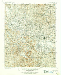
1904 Map of Harrison
USGS Topo · Published 1954About this map
Harrison serves as the focal point of this Ozark survey, reflecting the region's development during the early 1900s. The St Louis and North Worth RR cuts a path through the center of the sheet, connecting towns like Batavia and Capps to the wider rail network. To the west, the historic settlement of Carrollton stands as a significant landmark in Carroll County, while smaller communities such as Fairview (Osage P.O.) and Green Forest dot the hillsides.
Find a feature on this map
112 named features on this map. Tap any name to fly to it.
Don’t see what you’re looking for? This feature index may not catch every label — zoom into the map to look around manually.
Map Details
Editions of this 1904 Harrison Map
This is the sole edition of this map. No revisions or reprints were ever made.
Other maps of this area

1892 · Marshall
USGS Topo · 1:125,000

1893 · Yellville
USGS Topo · 1:125,000
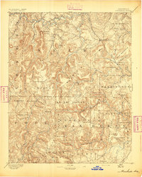
1894 · Marshall
USGS Topo · 1:125,000

1900 · Eureka Springs
USGS Topo · 1:125,000
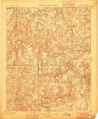
1901 · Marshall
USGS Topo · 1:125,000

1901 · Eureka Springs
USGS Topo · 1:125,000
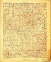
1903 · Yellville
USGS Topo · 1:125,000
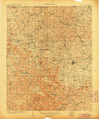
1905 · Harrison
USGS Topo · 1:125,000
1905 · Yellville
USGS Topo · 1:125,000
1907 · Forsyth
USGS Topo · 1:125,000