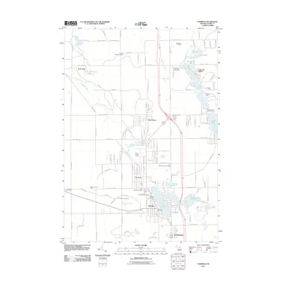
2011 Map of Harrison
USGS Topo · Published 2011About this map
Harrison serves as the focal point for this Clare County landscape, surrounded by a dense network of lakes and recreational grounds in the early twenty-first century. The map details the residential expansion of the town alongside Budd Lake, while smaller settlements like Long Lake Heights and Piney Woods dot the northern woodlands. The local economy and infrastructure are highlighted by the West Hamilton Oil and Gas Field and the Clare County Airport, indicating a blend of industrial utility and seasonal tourism.
Find a feature on this map
132 named features on this map. Tap any name to fly to it.
Don’t see what you’re looking for? This feature index may not catch every label — zoom into the map to look around manually.
Map Details
Editions of this 2011 Harrison Map
This is the sole edition of this map. No revisions or reprints were ever made.
Other maps of this area

1954 · Traverse City
USGS Topo · 1:250,000

1954 · Midland
USGS Topo · 1:250,000

1957 · Harrison
USGS Topo · 1:62,500

1958 · Traverse City
USGS Topo · 1:250,000

1958 · Midland
USGS Topo · 1:250,000

1959 · Midland
USGS Topo · 1:250,000

1959 · Clare
USGS Topo · 1:62,500

1966 · Midland
USGS Topo · 1:250,000

1969 · Meredith NW
USGS Topo · 1:24,000

1969 · Meredith SW
USGS Topo · 1:24,000