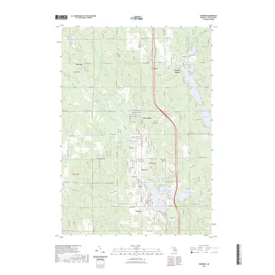
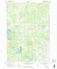
2023 Map of Harrison
USGS Topo · Published 2023About this map
The county seat of Harrison serves as the central hub of this Clare County landscape, situated around the shores of Budd Lake. The town's civic character is anchored by the Clare County Courthouse, while its surrounding residential developments like Ash Acres and Piney Woods reflect the modern community layout. This 2023 survey documents a region defined by its numerous water bodies, including Little Long Lake, Sutherland Lake, and the winding Floodwood Creek, which suggests a landscape shaped by both recreation and local drainage patterns.
Find a feature on this map
92 named features on this map. Tap any name to fly to it.
Don’t see what you’re looking for? This feature index may not catch every label — zoom into the map to look around manually.
Map Details
Editions of this 2023 Harrison Map
This is the sole edition of this map. No revisions or reprints were ever made.
Other maps of this area

1954 · Traverse City
USGS Topo · 1:250,000

1954 · Midland
USGS Topo · 1:250,000
1957 · Harrison
USGS Topo · 1:62,500

1958 · Traverse City
USGS Topo · 1:250,000

1958 · Midland
USGS Topo · 1:250,000

1959 · Midland
USGS Topo · 1:250,000
1959 · Clare
USGS Topo · 1:62,500

1966 · Midland
USGS Topo · 1:250,000
1969 · Meredith NW
USGS Topo · 1:24,000
1969 · Meredith SW
USGS Topo · 1:24,000