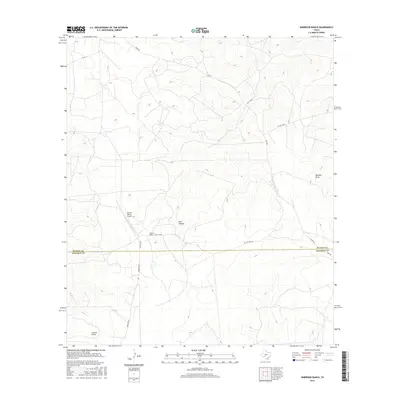
2016 Map of Harrison Ranch
USGS Topo · Published 2016About this map
Harrison Ranch sits at the center of this 2016 survey, occupying a remote stretch of the Edwards Plateau where the border of Sutton and Edwards counties is defined by a straight east-west line. The landscape is characterized by its drainage patterns, with Tenmile Draw and Coyote Draw carving through the terrain alongside Bull Hollow. This modern topographic study reveals a sparse ranching environment, where private road networks like Pvt Rd 3525 and Pvt Rd 3357 connect isolated properties. Aviation infrastructure is represented by the Canyon Ranch Airport, located just north of the county line, providing a glimpse into the logistical needs of managing large Texas landholdings. This detailed survey traces the precise intersection of public routes like Co Rd 320 with the private tracks that define local land use.
Find a feature on this map
14 named features on this map. Tap any name to fly to it.
Don’t see what you’re looking for? This feature index may not catch every label — zoom into the map to look around manually.
Map Details
Editions of this 2016 Harrison Ranch Map
This is the sole edition of this map. No revisions or reprints were ever made.
Other maps of this area

1893 · Rock Springs
USGS Topo · 1:125,000

1954 · Sonora
USGS Topo · 1:250,000

1958 · Sonora
USGS Topo · 1:250,000

1962 · Stewart Ranch
USGS Topo · 1:24,000

1963 · Steen Lake
USGS Topo · 1:24,000

1963 · Harrison Ranch
USGS Topo · 1:24,000

1963 · Live Oak Draw
USGS Topo · 1:24,000

1967 · Dunbar Draw NE
USGS Topo · 1:24,000

1967 · Dunbar Draw SE
USGS Topo · 1:24,000

1970 · Ray Lake NW
USGS Topo · 1:24,000