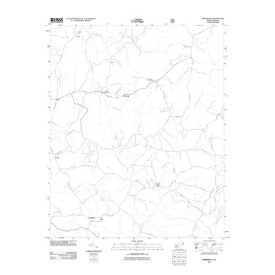
2011 Map of Harrisville
USGS Topo · Published 2011About this map
Harrisville and the surrounding rural communities of Montgomery County are defined by a complex network of creeks and small family-named landmarks. The landscape is carved by substantial water bodies including Buffalo Creek and Big Mountain Creek, which dictate the placement of early settlements like Capels Mill. Local history is anchored by the Harris Cemetary near the northern boundary and the Parsons-Howell Cemetery to the south in Pea Ridge, providing specific points of interest for genealogical research. The Harrisville Lookout Tower stands as a prominent man-made feature near the geographic center, overlooking the transition from Luther Mountain to the creek valleys. Many roads, such as Larry Parsons Rd and Dan Graham Rd, reflect the longstanding family ties to this agrarian region, while the small settlement of Ex-Way marks a historical crossroads along the County Line Rd.
Find a feature on this map
52 named features on this map. Tap any name to fly to it.
Don’t see what you’re looking for? This feature index may not catch every label — zoom into the map to look around manually.
Map Details
Editions of this 2011 Harrisville Map
This is the sole edition of this map. No revisions or reprints were ever made.
Other maps of this area

1942 · Troy
USGS Topo · 1:125,000

1949 · Millstone Lake
USGS Topo · 1:24,000

1949 · Jackson Springs
USGS Topo · 1:62,500

1950 · Norman
USGS Topo · 1:24,000

1953 · Raleigh
USGS Topo · 1:250,000

1954 · Raleigh
USGS Topo · 1:250,000

1956 · Mangum
USGS Topo · 1:24,000

1956 · Mount Gilead East
USGS Topo · 1:24,000

1956 · Ellerbe
USGS Topo · 1:24,000

1956 · Harrisville
USGS Topo · 1:24,000