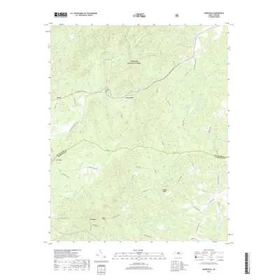
2019 Map of Harrisville
USGS Topo · Published 2019About this map
The boundary between Montgomery and Richmond counties bisects this landscape, defined by the winding course of Buffalo Creek and the southern reaches of the Uwharrie National Forest. Small settlements such as Harrisville and Covington are scattered across a terrain characterized by numerous creek branches and ridges like Luther Mtn. This rural network is anchored by historically significant sites, including Capels Mill and the Parsons-Howell Cem, which provide localized markers for family researchers. The road system, featuring routes like NC Highway 731 E and Tabernacle Church Rd, reflects a long-standing agricultural and forestry-based community structure. The map captures a moment in the modern era where names like Pea Ridge and Ex-Way preserve the distinct local identity of this North Carolina Piedmont region.
Find a feature on this map
59 named features on this map. Tap any name to fly to it.
Don’t see what you’re looking for? This feature index may not catch every label — zoom into the map to look around manually.
Map Details
Editions of this 2019 Harrisville Map
This is the sole edition of this map. No revisions or reprints were ever made.
Other maps of this area

1942 · Troy
USGS Topo · 1:125,000

1949 · Millstone Lake
USGS Topo · 1:24,000

1949 · Jackson Springs
USGS Topo · 1:62,500

1950 · Norman
USGS Topo · 1:24,000

1953 · Raleigh
USGS Topo · 1:250,000

1954 · Raleigh
USGS Topo · 1:250,000

1956 · Mangum
USGS Topo · 1:24,000

1956 · Mount Gilead East
USGS Topo · 1:24,000

1956 · Ellerbe
USGS Topo · 1:24,000

1956 · Harrisville
USGS Topo · 1:24,000