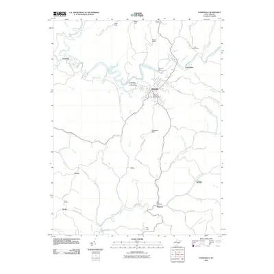
2010 Map of Harrisville
USGS Topo · Published 2010About this map
Harrisville serves as the focal point of this 2010 Ritchie County landscape, situated at the confluence of the North Fork Hughes River and Back Run. The town's civic fabric is illustrated by numerous historical burial grounds, including the Masonic Cemetery and the Independent Order of Odd Fellows Cemetery, alongside several outlying family-named sites like the Moyers Cemetery and Morris Cemetery. To the west, the protected lands of N Bend State Park border the winding river, which is punctuated by civil engineering features such as the Harrisville City Reservoir Dam. Small rural centers and crossroads settlements like Hannahdale, Cornwallis, and Washburn are connected by a network of local routes including Pullman Rd and Rock Camp Rd. The topography is defined by prominent ridges like Victory Ridge and Hulderman Ridge, which dictated the early settlement patterns and road placements throughout this part of West Virginia.
Find a feature on this map
73 named features on this map. Tap any name to fly to it.
Don’t see what you’re looking for? This feature index may not catch every label — zoom into the map to look around manually.
Map Details
Editions of this 2010 Harrisville Map
This is the sole edition of this map. No revisions or reprints were ever made.
Other maps of this area

1905 · West Union
USGS Topo · 1:62,500

1906 · Saint Marys
USGS Topo · 1:62,500

1906 · Holbrook
USGS Topo · 1:62,500

1907 · Harrisville
USGS Topo · 1:62,500

1924 · St Marys
USGS Topo · 1:62,500

1924 · Harrisville
USGS Topo · 1:62,500

1924 · West Union
USGS Topo · 1:62,500

1924 · Holbrook
USGS Topo · 1:62,500

1926 · Harrisville
USGS Topo · 1:62,500

1926 · Holbrook
USGS Topo · 1:62,500