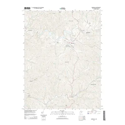
2014 Map of Harrisville
USGS Topo · Published 2014About this map
Harrisville serves as the focal point of this Ritchie County landscape, situated where North Fork Hughes River meanders through a series of steep ridges and narrow valleys. The town's grid is anchored by W Main St and N Court St, with local history preserved in the Independent Order of Odd Fellows Cem and nearby Masonic Cem. Outside the main settlement, the terrain is defined by prominent elevations such as Victory Ridge, Hulderman Ridge, and the appropriately named Oil Ridge, reflecting the region's industrial heritage.
Find a feature on this map
100 named features on this map. Tap any name to fly to it.
Don’t see what you’re looking for? This feature index may not catch every label — zoom into the map to look around manually.
Map Details
Editions of this 2014 Harrisville Map
This is the sole edition of this map. No revisions or reprints were ever made.
Other maps of this area

1905 · West Union
USGS Topo · 1:62,500

1906 · Saint Marys
USGS Topo · 1:62,500

1906 · Holbrook
USGS Topo · 1:62,500

1907 · Harrisville
USGS Topo · 1:62,500

1924 · St Marys
USGS Topo · 1:62,500

1924 · Harrisville
USGS Topo · 1:62,500

1924 · West Union
USGS Topo · 1:62,500

1924 · Holbrook
USGS Topo · 1:62,500

1926 · Harrisville
USGS Topo · 1:62,500

1926 · Holbrook
USGS Topo · 1:62,500