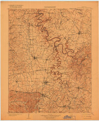
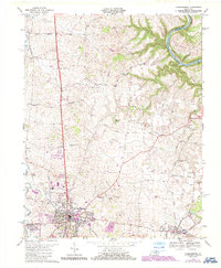
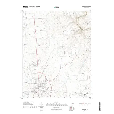
1905 Map of Harrodsburg
USGS Topo · Published 1918About this map
The Kentucky River carves a serpentine path through the heart of the Bluegrass region, defined here by the intricate river bends and steep limestone palisades of central Kentucky. At the turn of the century, the landscape was a bustling network of river commerce and rail hubs, anchored by the significant river infrastructure of Lock No 6, Lock No 7, and Lock No 8. These locks were vital for navigation before modern road networks dominated the region.
Find a feature on this map
138 named features on this map. Tap any name to fly to it.
Don’t see what you’re looking for? This feature index may not catch every label — zoom into the map to look around manually.
Map Details
Editions of this 1905 Harrodsburg Map
3 editions found

Historical Maps of Lexington Through Time
11 maps found
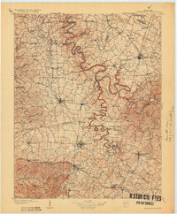
1905 Harrodsburg
Mercer County, KY
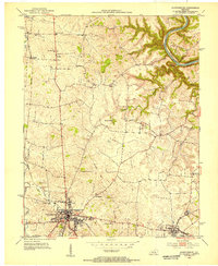
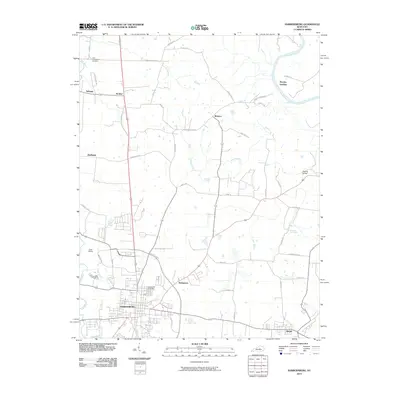
1952 Harrodsburg
Mercer County, KY
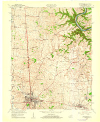
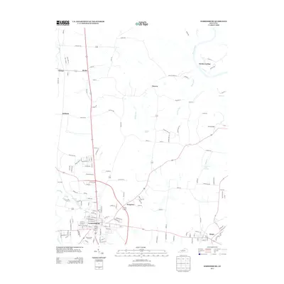
1959 Harrodsburg
Mercer County, KY
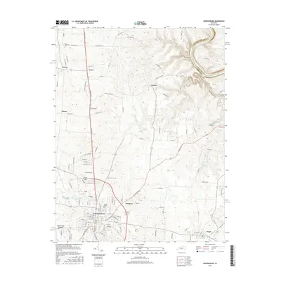
1967 Harrodsburg
Mercer County, KY

1986 Harrodsburg
Mercer County, KY

1991 Harrodsburg
Mercer County, KY
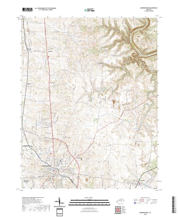
2010 Harrodsburg
Mercer County, KY
2013 Harrodsburg
Mercer County, KY
2016 Harrodsburg
Mercer County, KY
2019 Harrodsburg
Mercer County, KY
2022 Harrodsburg
Mercer County, KY