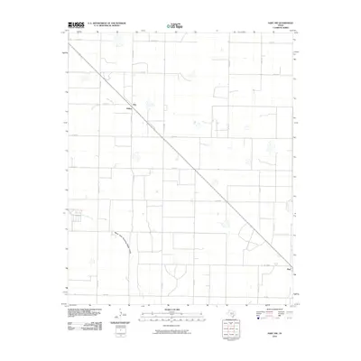
2010 Map of Hart NW
USGS Topo · Published 2010About this map
Agricultural patterns and a grid-like road system define this portion of the Texas Panhandle near the Hart vicinity. Small localized settlements like Roy and Mulkey are situated along the primary diagonal thoroughfare, reflecting the historical importance of transit corridors in this expansive landscape. The terrain is marked by ephemeral water features, most notably the North Fork Running Water Draw, which snakes across the southern portion of the survey area. A dense network of county roads, including Co RD 618 and Co Rd 519, creates a geometric patchwork of land divisions typical of High Plains ranching and farming operations. The intersection of these local routes with larger arteries like Fm 145 illustrates the connectivity between rural homesteads and the larger market towns of Castro County.
Find a feature on this map
20 named features on this map. Tap any name to fly to it.
Don’t see what you’re looking for? This feature index may not catch every label — zoom into the map to look around manually.
Map Details
Editions of this 2010 Hart NW Map
This is the sole edition of this map. No revisions or reprints were ever made.
Other maps of this area

1954 · Clovis
USGS Topo · 1:250,000

1958 · Clovis
USGS Topo · 1:250,000

1962 · Dodd NE
USGS Topo · 1:24,000

1963 · Hart NW
USGS Topo · 1:24,000

1963 · Dodd SE
USGS Topo · 1:24,000

1963 · Hart SW
USGS Topo · 1:24,000

1965 · Dimmitt
USGS Topo · 1:24,000

1965 · Hart
USGS Topo · 1:24,000

1965 · Nazareth SW
USGS Topo · 1:24,000

1965 · Hilburn
USGS Topo · 1:24,000