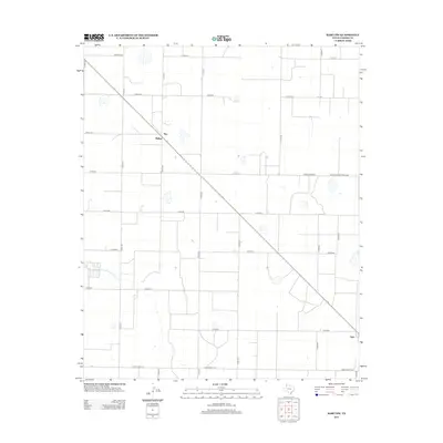
2012 Map of Hart NW
USGS Topo · Published 2012About this map
Roy and Mulkey sit as isolated outposts along a primary diagonal corridor in this corner of Castro County, reflecting the deep-rooted agricultural geometry of the Texas Panhandle. The landscape is defined by a rigorous grid of county roads, such as Co Rd-619 and Co Rd-625, which organize the surrounding fields and facilitate movement between these rural hubs. Near the southern boundary, the settlement of Hart appears as a center of local activity connected by Ranch Road 145.
Find a feature on this map
25 named features on this map. Tap any name to fly to it.
Don’t see what you’re looking for? This feature index may not catch every label — zoom into the map to look around manually.
Map Details
Editions of this 2012 Hart NW Map
This is the sole edition of this map. No revisions or reprints were ever made.
Other maps of this area

1954 · Clovis
USGS Topo · 1:250,000

1958 · Clovis
USGS Topo · 1:250,000

1962 · Dodd NE
USGS Topo · 1:24,000

1963 · Hart NW
USGS Topo · 1:24,000

1963 · Dodd SE
USGS Topo · 1:24,000

1963 · Hart SW
USGS Topo · 1:24,000

1965 · Dimmitt
USGS Topo · 1:24,000

1965 · Hart
USGS Topo · 1:24,000

1965 · Nazareth SW
USGS Topo · 1:24,000

1965 · Hilburn
USGS Topo · 1:24,000