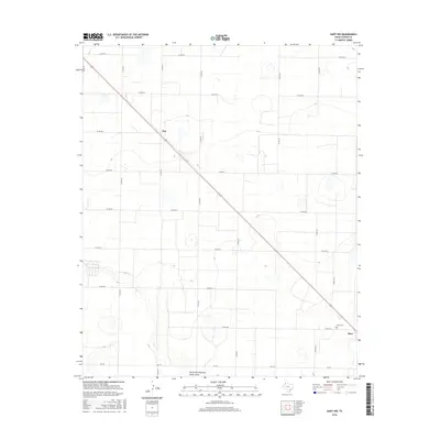
2016 Map of Hart NW
USGS Topo · Published 2016About this map
The settlement of Roy anchors the high plains of Castro County in this survey of the Texas Panhandle. The landscape is defined by a rigorous grid of agricultural roads, including Co Rd 621 and Co Rd 520, which carve the terrain into expansive tracts. Cutting diagonally across this geometric pattern is Highway 194, a primary transit artery connecting the smaller community of Roy toward the more developed area around Hart in the southeast.
Find a feature on this map
22 named features on this map. Tap any name to fly to it.
Don’t see what you’re looking for? This feature index may not catch every label — zoom into the map to look around manually.
Map Details
Editions of this 2016 Hart NW Map
This is the sole edition of this map. No revisions or reprints were ever made.
Other maps of this area

1954 · Clovis
USGS Topo · 1:250,000

1958 · Clovis
USGS Topo · 1:250,000

1962 · Dodd NE
USGS Topo · 1:24,000

1963 · Hart NW
USGS Topo · 1:24,000

1963 · Dodd SE
USGS Topo · 1:24,000

1963 · Hart SW
USGS Topo · 1:24,000

1965 · Dimmitt
USGS Topo · 1:24,000

1965 · Hart
USGS Topo · 1:24,000

1965 · Nazareth SW
USGS Topo · 1:24,000

1965 · Hilburn
USGS Topo · 1:24,000