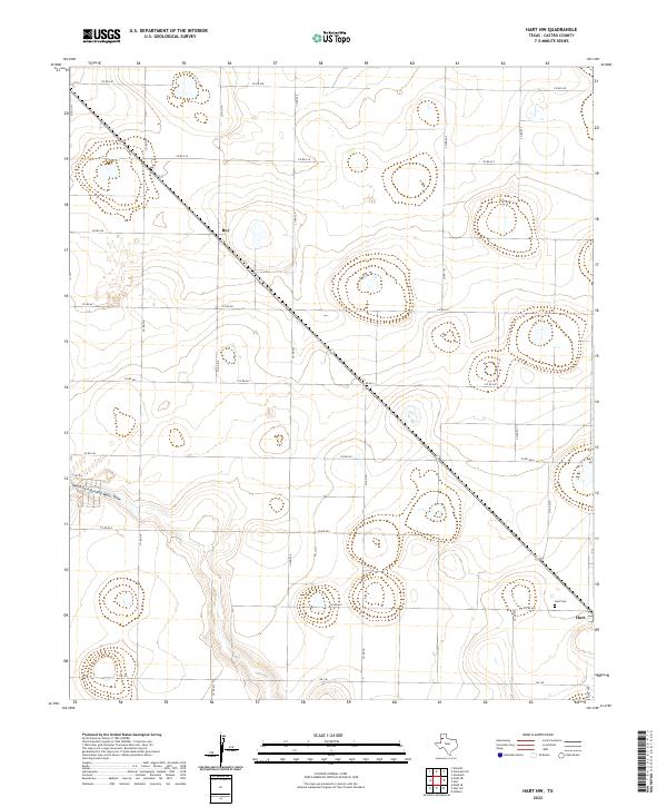
2022 Map of Hart NW
USGS Topo · Published 2022About this map
North Fork Running Water Draw carves a subtle path through this High Plains landscape, which is defined by a rigorous grid of county roads and agricultural land. In the southeastern corner, the settlement of Hart serves as a primary hub, while the small community of Roy sits further northwest along the diagonal highway. Local history and genealogy are centered around the Hart Cem, a landmark for those tracing family roots in this corner of Castro County. The survey illustrates a terrain dominated by shallow depressions and playas, common to the Llano Estacado, which are bypassed by a transportation network that includes Fm 145 and numerous numbered routes such as Co RD 618 and Co RD 524.
Find a feature on this map
23 named features on this map. Tap any name to fly to it.
Don’t see what you’re looking for? This feature index may not catch every label — zoom into the map to look around manually.
Map Details
Editions of this 2022 Hart NW Map
This is the sole edition of this map. No revisions or reprints were ever made.
Other maps of this area

1954 · Clovis
USGS Topo · 1:250,000

1958 · Clovis
USGS Topo · 1:250,000

1962 · Dodd NE
USGS Topo · 1:24,000

1963 · Hart NW
USGS Topo · 1:24,000

1963 · Dodd SE
USGS Topo · 1:24,000

1963 · Hart SW
USGS Topo · 1:24,000

1965 · Dimmitt
USGS Topo · 1:24,000

1965 · Hart
USGS Topo · 1:24,000

1965 · Nazareth SW
USGS Topo · 1:24,000

1965 · Hilburn
USGS Topo · 1:24,000