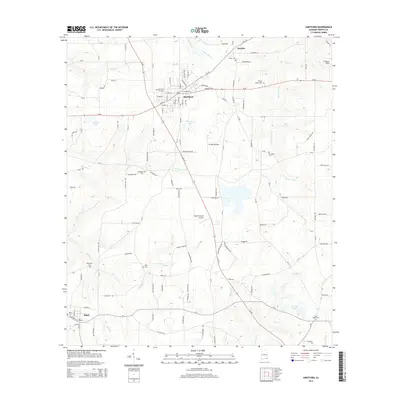
2014 Map of Hartford
USGS Topo · Published 2014About this map
Hartford serves as the focal point of this Geneva County landscape, where the intersection of Al-52 and Al-123 forms the commercial core of the community. The town is surrounded by a patchwork of rural homesteads and agricultural lands, notably marked by several local landing strips including Striplin Airfield, Flying H Ranch Airport, and Freedom Field. These small-scale aviation sites suggest the region's continued reliance on aerial crop dusting or private transport within the farming economy.
Find a feature on this map
126 named features on this map. Tap any name to fly to it.
Don’t see what you’re looking for? This feature index may not catch every label — zoom into the map to look around manually.
Map Details
Editions of this 2014 Hartford Map
This is the sole edition of this map. No revisions or reprints were ever made.
Other maps of this area

1942 · Enterprise
USGS Topo · 1:125,000

1950 · Izagora
USGS Topo · 1:24,000

1950 · Esto
USGS Topo · 1:24,000

1951 · Graceville
USGS Topo · 1:24,000

1951 · Esto
USGS Topo · 1:24,000

1953 · Dothan
USGS Topo · 1:250,000

1954 · Dothan
USGS Topo · 1:250,000

1954 · Tallahassee
USGS Topo · 1:250,000

1955 · Dothan
USGS Topo · 1:250,000

1957 · Malvern
USGS Topo · 1:24,000