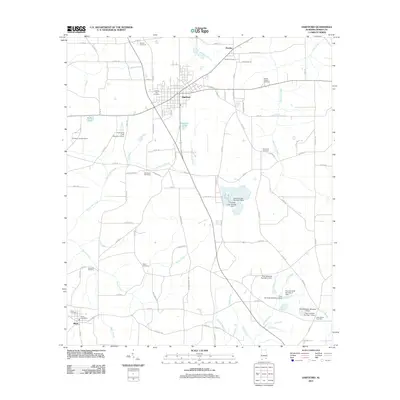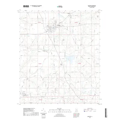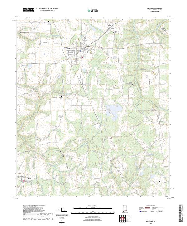
2024 Map of Hartford
USGS Topo · Published 2024About this map
The town of Hartford serves as the central hub of this Geneva County landscape, where the street grid gives way to a sprawling network of rural roads and drainage systems. Waterways like Justice Mill Creek, Spring Creek, and Tenmile Creek carve through the agricultural terrain, dictating the placement of historic farmsteads and rural congregations. The area is dense with genealogical landmarks, including several small church-affiliated burial grounds such as Millville Church Cem and the Christian Home Church Cem.
Find a feature on this map
101 named features on this map. Tap any name to fly to it.
Don’t see what you’re looking for? This feature index may not catch every label — zoom into the map to look around manually.
Map Details
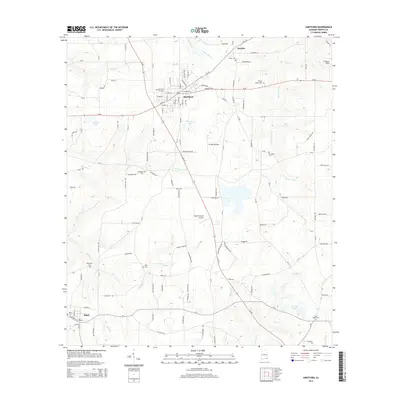
Editions of this 2024 Hartford Map
This is the sole edition of this map. No revisions or reprints were ever made.
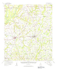
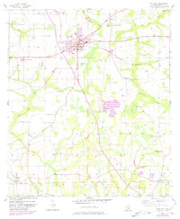
Historical Maps of Hartford Through Time
7 maps found