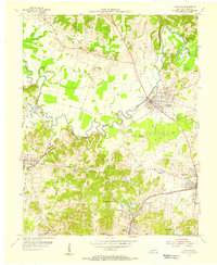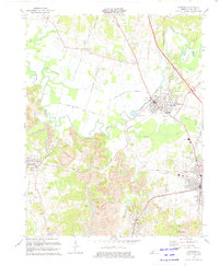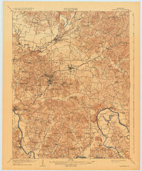
1909 Map of Hartford
USGS Topo · Published 1932About this map
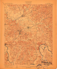
The Rough River and Green River define the winding agricultural and industrial landscape of Ohio County during the early twentieth century. This survey, conducted by Frank Sutton and a team of topographers including A.O. Burkland, captures a period when river crossings were vital to local commerce, evidenced by the numerous ferry sites such as Stroud Ferry and Snell Ferry. The central corridor is dominated by the Illinois Central and the Louisville and Nashville railroads, which facilitated the growth of coal mining at Taylor Mines and connected settlements like Beaverdam, McHenry, and Horton. The map is particularly dense with community landmarks, documenting dozens of rural institutions from the County House near the county seat to the Sulphur Spring School and Cool Spring Church, providing a clear view of the social geography before modern road networks consolidated these dispersed hamlets.
Find a feature on this map
82 named features on this map. Tap any name to fly to it.
Don’t see what you’re looking for? This feature index may not catch every label — zoom into the map to look around manually.
Map Details
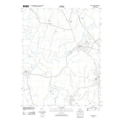
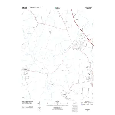
Editions of this 1909 Hartford Map
2 editions found
Historical Maps of Beaver Dam Through Time
8 maps found