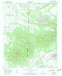
1947 Map of Hartford
USGS Topo · Published 1978About this map
Hartford serves as the industrial and social hub of this border region, where coal mining activity is evident near the town center and along the Jim Fork drainage. The landscape is dominated by the massive east-west ridges of Mississippi Mountain and Sugar Loaf Mountain, which tower over the surrounding valleys. These peaks, including Oklahoma Peak and Midland Peak, provide a natural barrier that defines the winding paths of Riddle Creek and Sugar Loaf Creek. Small communities like Slaytonville and West Hartford are positioned near the Oklahoma-Arkansas state line, reflecting a settlement pattern tied to both the mineral wealth of the valley and the difficult terrain of the Ouachita foothills. A local Fish Hatchery and several cemeteries dot the area, providing specific points of interest for genealogists tracing families in this part of Sebastian and Le Flore counties.
Find a feature on this map
24 named features on this map. Tap any name to fly to it.
Don’t see what you’re looking for? This feature index may not catch every label — zoom into the map to look around manually.
Map Details
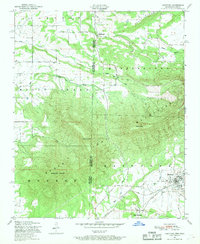
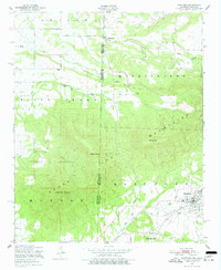
Editions of this 1947 Hartford Map
3 editions found
Other maps of this area

1887 · Poteau Mountain #2
USGS Topo · 1:62,500

1887 · Greenwood
USGS Topo · 1:62,500

1890 · Fort Smith
USGS Topo · 1:125,000

1890 · Poteau Mountain
USGS Topo · 1:125,000

1899 · Poteau Mountain
USGS Topo · 1:125,000

1900 · Sallisaw
USGS Topo · 1:125,000

1900 · Winding Stair
USGS Topo · 1:125,000

1909 · Winding Stair
USGS Topo · 1:125,000

1911 · Sallisaw
USGS Topo · 1:125,000

1943 · Fort Smith
USGS Topo · 1:125,000