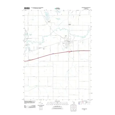
2011 Map of Hartford
USGS Topo · Published 2011About this map
Hartford serves as the central hub of this Van Buren County landscape, where the Paw Paw River winds through a patchwork of agricultural lands and recreational sites. The town’s social and civic infrastructure is clearly marked, from the Hartford Post Office to the Hartford Speedway Park, while the local entertainment history is preserved via the Sunset Drive-In Theatre. To the north, the geography is defined by a series of water bodies including Van Auken Lake, Rush Lake, and Sassafras Lake, connected by drainage systems like the Mud Lake Drain.
Find a feature on this map
77 named features on this map. Tap any name to fly to it.
Don’t see what you’re looking for? This feature index may not catch every label — zoom into the map to look around manually.
Map Details
Editions of this 2011 Hartford Map
This is the sole edition of this map. No revisions or reprints were ever made.
Other maps of this area

1927 · Hartford
USGS Topo · 1:62,500

1927 · Bangor
USGS Topo · 1:62,500

1927 · Benton Harbor
USGS Topo · 1:62,500

1927 · South Haven
USGS Topo · 1:62,500

1930 · South Haven
USGS Topo · 1:62,500

1930 · Benton Harbor
USGS Topo · 1:62,500

1931 · Bangor
USGS Topo · 1:62,500

1931 · Hartford
USGS Topo · 1:62,500

1943 · South Haven
USGS Topo · 1:62,500

1943 · Bangor
USGS Topo · 1:62,500