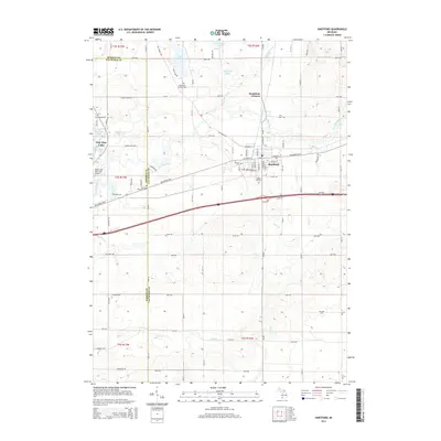
2014 Map of Hartford
USGS Topo · Published 2014About this map
Hartford serves as the central hub of this agricultural landscape in Van Buren County, situated along the Red Arrow Hwy and the winding Paw Paw River. The area is defined by its collection of glacial lakes, including Van Auken Lake, Rush Lake, and Sassafras Lake, which punctuate the rural terrain north of the city. For those tracing family histories, several local burial grounds are documented, including Maple Hill Cem, the Pioneer Cem, and the Rush Lake Catholic Cem near the northern boundary. The mapping reveals a distinct grid of section-line roads like 48th Ave and 66th Ave, supporting a network of farms and small drainages such as Mud Lake Drain and Pine Cr that feed into the larger river systems.
Find a feature on this map
52 named features on this map. Tap any name to fly to it.
Don’t see what you’re looking for? This feature index may not catch every label — zoom into the map to look around manually.
Map Details
Editions of this 2014 Hartford Map
This is the sole edition of this map. No revisions or reprints were ever made.
Other maps of this area

1927 · Hartford
USGS Topo · 1:62,500

1927 · Bangor
USGS Topo · 1:62,500

1927 · Benton Harbor
USGS Topo · 1:62,500

1927 · South Haven
USGS Topo · 1:62,500

1930 · South Haven
USGS Topo · 1:62,500

1930 · Benton Harbor
USGS Topo · 1:62,500

1931 · Bangor
USGS Topo · 1:62,500

1931 · Hartford
USGS Topo · 1:62,500

1943 · South Haven
USGS Topo · 1:62,500

1943 · Bangor
USGS Topo · 1:62,500