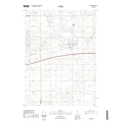
2019 Map of Hartford
USGS Topo · Published 2019About this map
The Paw Paw River winds through the northern portion of this landscape, connecting the agricultural outskirts of Hartford and Watervliet. This modern survey illustrates the persistent rural character of eastern Berrien and western Van Buren counties, where drainage features like the Mud Lake Drain and Hog Cr define the low-lying terrain. Genealogy and local history researchers will find significant detail in the distribution of community spaces, including the Catholic Cem near Rush Lake and the centrally located Maple Hill Cem.
Find a feature on this map
94 named features on this map. Tap any name to fly to it.
Don’t see what you’re looking for? This feature index may not catch every label — zoom into the map to look around manually.
Map Details
Editions of this 2019 Hartford Map
This is the sole edition of this map. No revisions or reprints were ever made.
Other maps of this area

1927 · Hartford
USGS Topo · 1:62,500

1927 · Bangor
USGS Topo · 1:62,500

1927 · Benton Harbor
USGS Topo · 1:62,500

1927 · South Haven
USGS Topo · 1:62,500

1930 · South Haven
USGS Topo · 1:62,500

1930 · Benton Harbor
USGS Topo · 1:62,500

1931 · Bangor
USGS Topo · 1:62,500

1931 · Hartford
USGS Topo · 1:62,500

1943 · South Haven
USGS Topo · 1:62,500

1943 · Bangor
USGS Topo · 1:62,500