Loading...
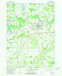
Loading map...1981 Map of Hartford
USGS Topo · Published 1982About this map
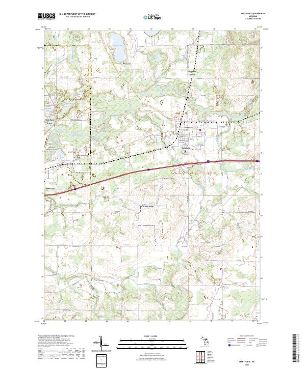
Hartford serves as the primary hub of this landscape, situated at the junction of the Red Arrow Highway and the Chesapeake and Ohio railroad line. The settlement is densely documented with community landmarks including Immaculate Conception Ch, Hope Ch, and the Seventh-Day Adventist Ch. To the north, the Paw Paw River winds through the terrain, flanked by a series of gravel pits and industrial features like Sewage Disposal plants.
Find a feature on this map
38 named features on this map. Tap any name to fly to it.
Don’t see what you’re looking for? This feature index may not catch every label — zoom into the map to look around manually.
Map Details
Date Portrayed1981
Date Published1982
PublisherU.S. Geological Survey
Map TypeTopographic
Scale1:24,000
Physical Dimensions21.9 x 26.8 inches
Editions of this 1981 Hartford Map
This is the sole edition of this map. No revisions or reprints were ever made.
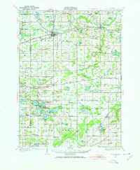
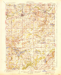
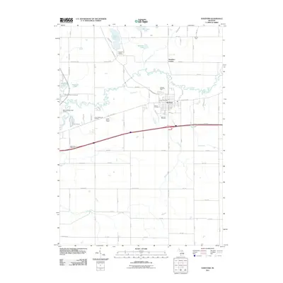
Historical Maps of Hartford Through Time
8 maps found
Featured Locations
- Watervliet, MI
- Watervliet Township, MI
- Hartford, MI
- Keeler Township, MI
- Stoughton Corners, Hartford Township
Source Details
SourceU.S. Geological Survey
CopyrightPublic Domain