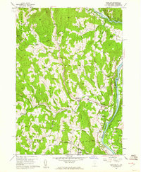
1959 Map of Hartland
USGS Topo · Published 1961About this map
Hartland and its surrounding hillsides appear here at the close of the 1950s, a landscape defined by the winding course of the Connecticut River and the newly established North Hartland Reservoir. The map captures the region's agricultural and institutional character, notably featuring the State Prison Farm and the Fairgrounds south of the main village. Transportation routes like the Central Vermont railroad line and local landmarks such as the Covered Bridge across Lulls Brook illustrate the area's infrastructure before major modern shifts.
Find a feature on this map
82 named features on this map. Tap any name to fly to it.
Don’t see what you’re looking for? This feature index may not catch every label — zoom into the map to look around manually.
Map Details
Editions of this 1959 Hartland Map
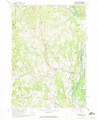
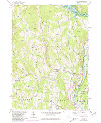
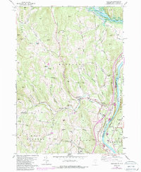
4 editions found
Other maps of this area

1906 · Hanover
USGS Topo · 1:62,500

1908 · Hanover
USGS Topo · 1:62,500

1911 · Woodstock
USGS Topo · 1:62,500

1913 · Woodstock
USGS Topo · 1:62,500

1926 · Claremont
USGS Topo · 1:62,500

1928 · Ludlow
USGS Topo · 1:48,000

1929 · Claremont
USGS Topo · 1:62,500

1929 · Ludlow
USGS Topo · 1:62,500

1932 · Ludlow
USGS Topo · 1:62,500

1943 · Woodstock
USGS Topo · 1:62,500