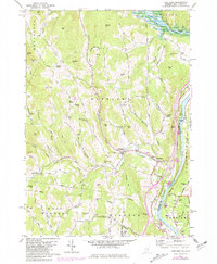
1959 Map of Hartland
USGS Topo · Published 1981About this map
The Connecticut River forms the eastern boundary of this Vermont landscape, where the confluence with the Ottauquechee River and the North Hartland Reservoir shapes the local topography. This mid-century survey captures the rural character of Hartland and Hartland Four Corners, highlighting the network of family-named hills and cemeteries that define the region's historical geography. Numerous burial grounds, including the Quaker Village Cem, Gill Cem, and Hoisington Cem, are scattered among the ridges of Garvin Hill and Cotton Hill, serving as vital markers for genealogical research.
Find a feature on this map
80 named features on this map. Tap any name to fly to it.
Don’t see what you’re looking for? This feature index may not catch every label — zoom into the map to look around manually.
Map Details
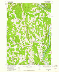
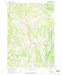
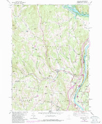
Editions of this 1959 Hartland Map
4 editions found
Other maps of this area

1906 · Hanover
USGS Topo · 1:62,500

1908 · Hanover
USGS Topo · 1:62,500

1911 · Woodstock
USGS Topo · 1:62,500

1913 · Woodstock
USGS Topo · 1:62,500

1926 · Claremont
USGS Topo · 1:62,500

1928 · Ludlow
USGS Topo · 1:48,000

1929 · Claremont
USGS Topo · 1:62,500

1929 · Ludlow
USGS Topo · 1:62,500

1932 · Ludlow
USGS Topo · 1:62,500

1943 · Woodstock
USGS Topo · 1:62,500