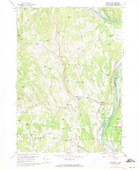
1959 Map of Hartland
USGS Topo · Published 1971About this map
The Connecticut River and Ottauquechee River define this mid-century landscape of eastern Vermont, where the North Hartland Reservoir represents a significant modification of the natural watercourse. The map reveals a high density of ancestral landmarks, particularly cemeteries such as Quaker Village Cem and Aldrich Cem, which point to long-established family homesteads across the rolling terrain. Settlements like Hartland Four Corners, Fieldsville, and Jenneville serve as local hubs, while smaller details like the Grout Sch and a Covered Bridge near the river bank provide a look at the community infrastructure of the era. The southern portion is notable for the State Prison Farm, illustrating the diverse land use in Windsor County during the late 1950s. Numerous brooks, including Lulls Brook and Babcock Brook, intersect the numerous hills that characterize this New England topography.
Find a feature on this map
81 named features on this map. Tap any name to fly to it.
Don’t see what you’re looking for? This feature index may not catch every label — zoom into the map to look around manually.
Map Details
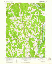
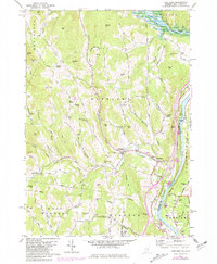
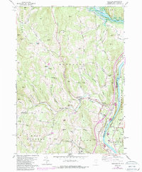
Editions of this 1959 Hartland Map
4 editions found
Other maps of this area

1906 · Hanover
USGS Topo · 1:62,500

1908 · Hanover
USGS Topo · 1:62,500

1911 · Woodstock
USGS Topo · 1:62,500

1913 · Woodstock
USGS Topo · 1:62,500

1926 · Claremont
USGS Topo · 1:62,500

1928 · Ludlow
USGS Topo · 1:48,000

1929 · Claremont
USGS Topo · 1:62,500

1929 · Ludlow
USGS Topo · 1:62,500

1932 · Ludlow
USGS Topo · 1:62,500

1943 · Woodstock
USGS Topo · 1:62,500