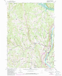
1959 Map of Hartland
USGS Topo · Published 1988About this map
The Connecticut River forms the eastern boundary of this Vermont landscape, where the Central Vermont railroad tracks follow the river's path past Hart Island and Sumner Falls. The terrain is defined by a dense network of hills and brooks, including Lulls Brook and Alder Meadow Brook, which carved out the valley for settlements like Hartland Four Corners and Jenneville. A notable historic infrastructure element is the Covered Bridge located near Hartland, a testament to the local transport patterns of the mid-20th century.
Find a feature on this map
84 named features on this map. Tap any name to fly to it.
Don’t see what you’re looking for? This feature index may not catch every label — zoom into the map to look around manually.
Map Details
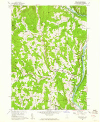
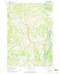
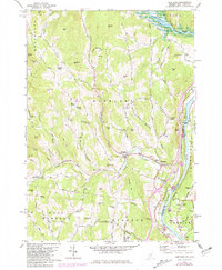
Editions of this 1959 Hartland Map
4 editions found
Other maps of this area

1906 · Hanover
USGS Topo · 1:62,500

1908 · Hanover
USGS Topo · 1:62,500

1911 · Woodstock
USGS Topo · 1:62,500

1913 · Woodstock
USGS Topo · 1:62,500

1926 · Claremont
USGS Topo · 1:62,500

1928 · Ludlow
USGS Topo · 1:48,000

1929 · Claremont
USGS Topo · 1:62,500

1929 · Ludlow
USGS Topo · 1:62,500

1932 · Ludlow
USGS Topo · 1:62,500

1943 · Woodstock
USGS Topo · 1:62,500