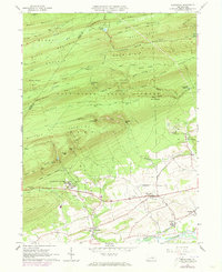
1965 Map of Hartleton
USGS Topo · Published 1973About this map
Laurelton State Village anchors the southern portion of this Union County survey, reflecting the institutional history of central Pennsylvania in the mid-1960s. The landscape transitions from the agricultural flats near Hartleton and Swengel into the dense wooded ridges of the Bald Eagle State Forest. Transport and industry are marked by the Penn Central rail line following the course of Penns Creek near Millmont, where a Covered Bridge still stands. Higher elevations reveal the complex geography of the Ridge-and-Valley Appalachians, including named peaks like Branch Mountain and Hartley Mountain. Local history is preserved through scattered landmarks such as Union Church, Old Cedars Cemetery, and the Western Area School, while the northern peaks include Raymond B Winter State Park and its Halfway Lake.
Find a feature on this map
72 named features on this map. Tap any name to fly to it.
Don’t see what you’re looking for? This feature index may not catch every label — zoom into the map to look around manually.
Map Details
Editions of this 1965 Hartleton Map
2 editions found
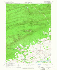
Other maps of this area

1921 · Williamsport
USGS Topo · 1:48,000

1921 · Lock Haven
USGS Topo · 1:62,500

1923 · Lock Haven
USGS Topo · 1:62,500

1923 · Williamsport
USGS Topo · 1:62,500

1937 · Millheim
USGS Topo · 1:48,000

1938 · Mifflinburg
USGS Topo · 1:48,000

1941 · Millheim
USGS Topo · 1:62,500

1943 · Mifflinburg
USGS Topo · 1:62,500

1944 · Williamsport
USGS Topo · 1:62,500

1944 · Lock Haven
USGS Topo · 1:62,500