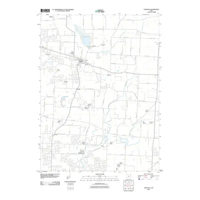
2010 Map of Hartville
USGS Topo · Published 2010About this map
Hartville serves as a central hub in this Stark County landscape, where the Hartville Post Office and nearby Union Cemetery anchor the community's layout. The map reveals a dense concentration of burial grounds, including the Hartville Lutheran Cemetery and Mount Peace Cemetery, which provide significant points of interest for genealogical research in this part of Ohio. To the north, the waters of Congress Lake are controlled by the Congress Lake Dam, feeding the Congress Lake Outlet.
Find a feature on this map
86 named features on this map. Tap any name to fly to it.
Don’t see what you’re looking for? This feature index may not catch every label — zoom into the map to look around manually.
Map Details
Editions of this 2010 Hartville Map
This is the sole edition of this map. No revisions or reprints were ever made.
Other maps of this area

1901 · Canton
USGS Topo · 1:62,500

1903 · Canton
USGS Topo · 1:62,500

1906 · Kent
USGS Topo · 1:62,500

1906 · Ravenna
USGS Topo · 1:62,500

1908 · Ravenna
USGS Topo · 1:62,500

1909 · Alliance
USGS Topo · 1:62,500

1950 · Cleveland
USGS Topo · 1:250,000

1951 · Canton
USGS Topo · 1:250,000

1953 · Canton
USGS Topo · 1:250,000

1956 · Cleveland
USGS Topo · 1:250,000