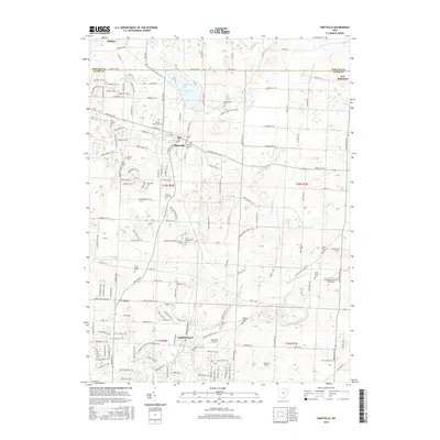
2016 Map of Hartville
USGS Topo · Published 2016About this map
Hartville serves as the central hub of this northern Stark County landscape, situated just south of the Portage County line. The area is defined by its significant concentration of local burial grounds and historic congregations, including Hartville Lutheran Cem, Mount Peace Cem, and King Church Cem. This abundance of named cemeteries, often tied to specific local families or early churches like East Nimishillen Cem, offers a detailed map for genealogists tracing ancestral roots in the region.
Find a feature on this map
115 named features on this map. Tap any name to fly to it.
Don’t see what you’re looking for? This feature index may not catch every label — zoom into the map to look around manually.
Map Details
Editions of this 2016 Hartville Map
This is the sole edition of this map. No revisions or reprints were ever made.
Other maps of this area

1901 · Canton
USGS Topo · 1:62,500

1903 · Canton
USGS Topo · 1:62,500

1906 · Kent
USGS Topo · 1:62,500

1906 · Ravenna
USGS Topo · 1:62,500

1908 · Ravenna
USGS Topo · 1:62,500

1909 · Alliance
USGS Topo · 1:62,500

1950 · Cleveland
USGS Topo · 1:250,000

1951 · Canton
USGS Topo · 1:250,000

1953 · Canton
USGS Topo · 1:250,000

1956 · Cleveland
USGS Topo · 1:250,000