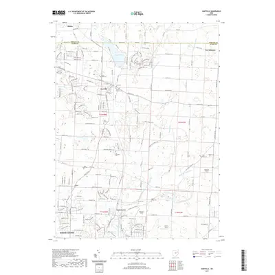
2019 Map of Hartville
USGS Topo · Published 2019About this map
The village of Hartville serves as the central hub of this northeast Ohio landscape, situated at the boundary of Stark Co and Portage Co. The area is defined by its extensive collection of pioneer and community burial grounds, including the Union Cem, Mount Peace Cem, and Hartville Lutheran Cem. These sites, often located near local congregations like the King Church Cem, provide a dense record of early settlement patterns in the township.
Find a feature on this map
180 named features on this map. Tap any name to fly to it.
Don’t see what you’re looking for? This feature index may not catch every label — zoom into the map to look around manually.
Map Details
Editions of this 2019 Hartville Map
This is the sole edition of this map. No revisions or reprints were ever made.
Other maps of this area

1901 · Canton
USGS Topo · 1:62,500

1903 · Canton
USGS Topo · 1:62,500

1906 · Kent
USGS Topo · 1:62,500

1906 · Ravenna
USGS Topo · 1:62,500

1908 · Ravenna
USGS Topo · 1:62,500

1909 · Alliance
USGS Topo · 1:62,500

1950 · Cleveland
USGS Topo · 1:250,000

1951 · Canton
USGS Topo · 1:250,000

1953 · Canton
USGS Topo · 1:250,000

1956 · Cleveland
USGS Topo · 1:250,000