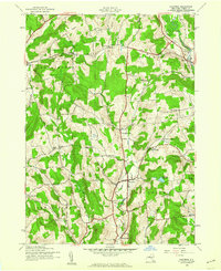
1943 Map of Hartwick
USGS Topo · Published 1960About this map
Otego Creek and the West Branch Otego Creek carve through this rural landscape, anchoring a network of small upland communities during the early 1940s. The settlement of Hartwick serves as a central hub, while smaller locales like Oaksville, Cattown, and Snowdon dot the surrounding valleys and hillsides. The map captures a high density of local educational and civic landmarks, including the Whitehouse Sch, Texas Sch, and Briar Hill Sch, which reflect a decentralized rural school system still in place before mid-century consolidation.
Find a feature on this map
47 named features on this map. Tap any name to fly to it.
Don’t see what you’re looking for? This feature index may not catch every label — zoom into the map to look around manually.
Map Details
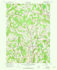
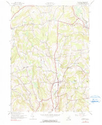
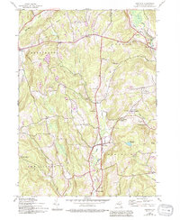
Editions of this 1943 Hartwick Map
4 editions found
Other maps of this area

1903 · Richfield Springs
USGS Topo · 1:62,500

1907 · Winfield
USGS Topo · 1:62,500

1907 · Cooperstown
USGS Topo · 1:62,500

1909 · Cooperstown
USGS Topo · 1:62,500

1910 · Hartwick
USGS Topo · 1:62,500

1912 · Hartwick
USGS Topo · 1:62,500

1943 · Schuyler Lake
USGS Topo · 1:24,000

1943 · Mt Vision
USGS Topo · 1:24,000

1943 · Milford
USGS Topo · 1:24,000

1943 · Richfield Springs
USGS Topo · 1:24,000