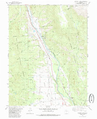
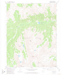
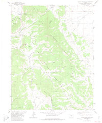
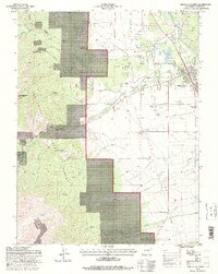
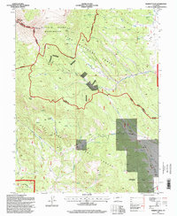
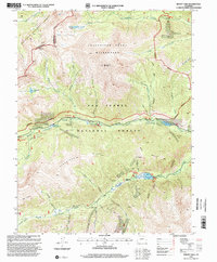
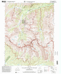
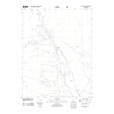
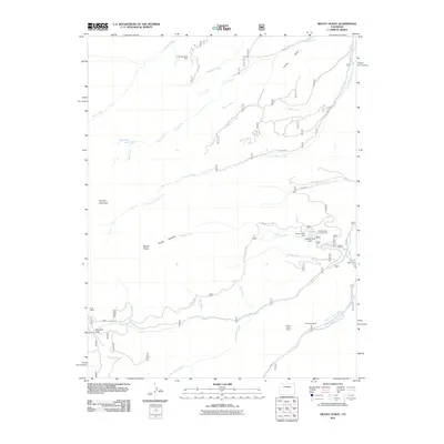
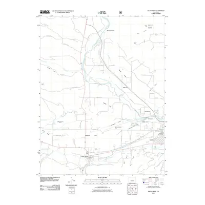
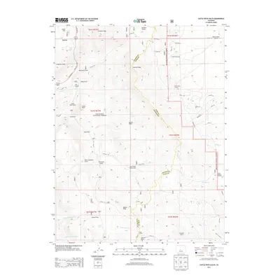
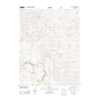
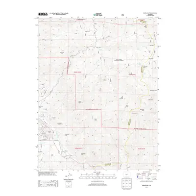
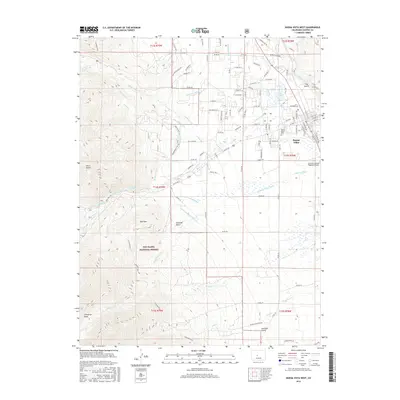
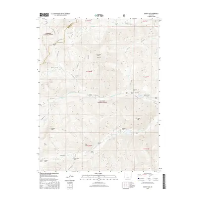
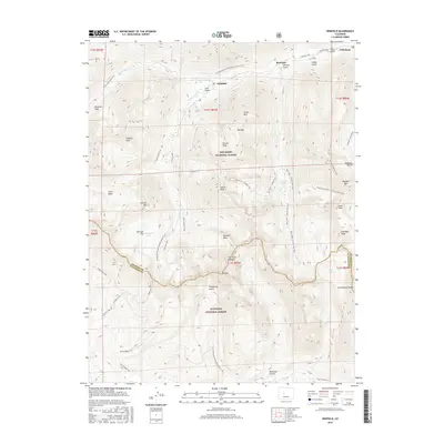
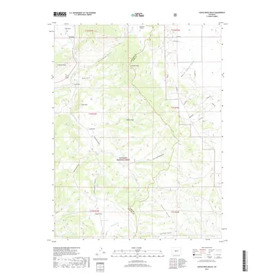
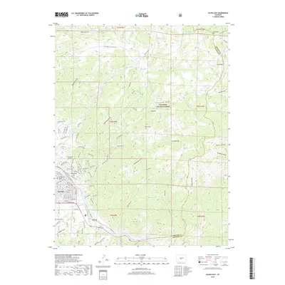
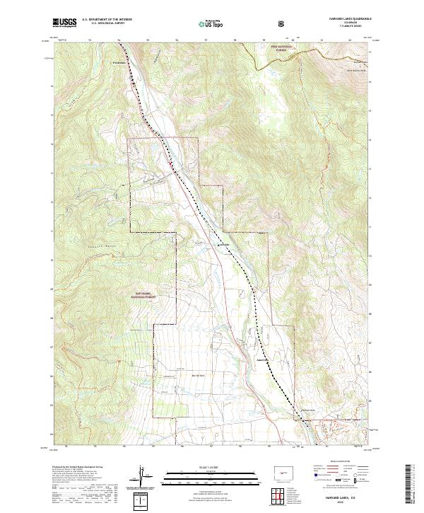
1982 Map of Harvard Lakes
USGS Topo · Published 1985About this map
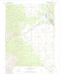
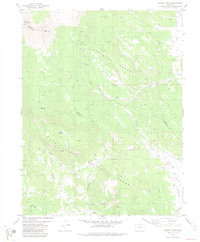
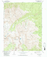
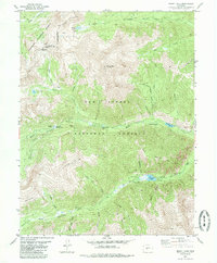
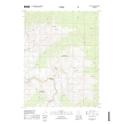
The Arkansas River corridor defines this portion of the central Rockies, where the Denver and Rio Grande Western railroad tracks follow the river's path between the towering peaks of the Pike National Forest and San Isabel National Forest. Local industrial history is visible in the clusters of extractive infrastructure, notably the Little Annie Mine and various unlabeled mines dotting the gulches. Smaller settlements like Princeton, Riverside, and Americus mark the valley floor, while the surrounding high country is accessed via the Pine Creek Trail and the Wapaca Trail. The map also captures several cemeteries, a Pumping Sta, and recreational landmarks such as Berrian Park and the Athletic Field. Geological points of interest like Elephant Rock and the namesake Harvard Lakes sit within a landscape of numerous named drainage's, including Mc Fadden Creek and Fourmile Creek.
Find a feature on this map
34 named features on this map. Tap any name to fly to it.
Don’t see what you’re looking for? This feature index may not catch every label — zoom into the map to look around manually.
Map Details
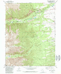
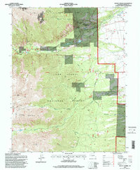
Editions of this 1982 Harvard Lakes Map
2 editions found
Historical Maps of Riverside Through Time
99 maps found
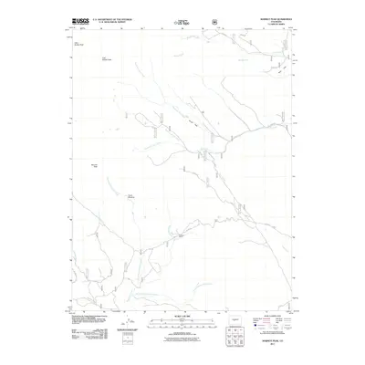
1955 Mount Harvard
Chaffee County, CO
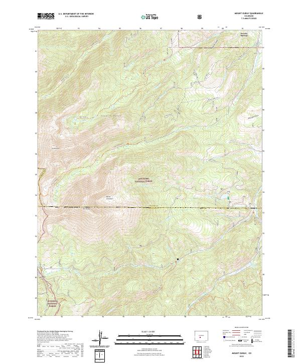
1980 Mount Ouray
Chaffee County, CO
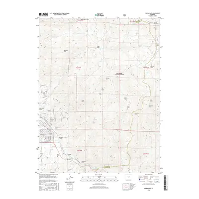
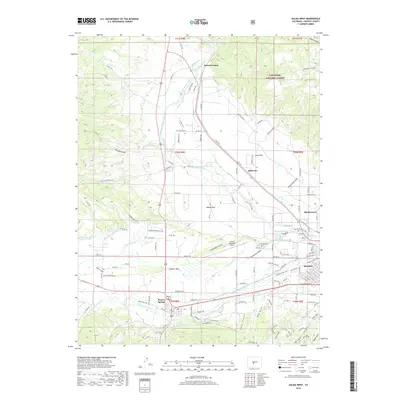
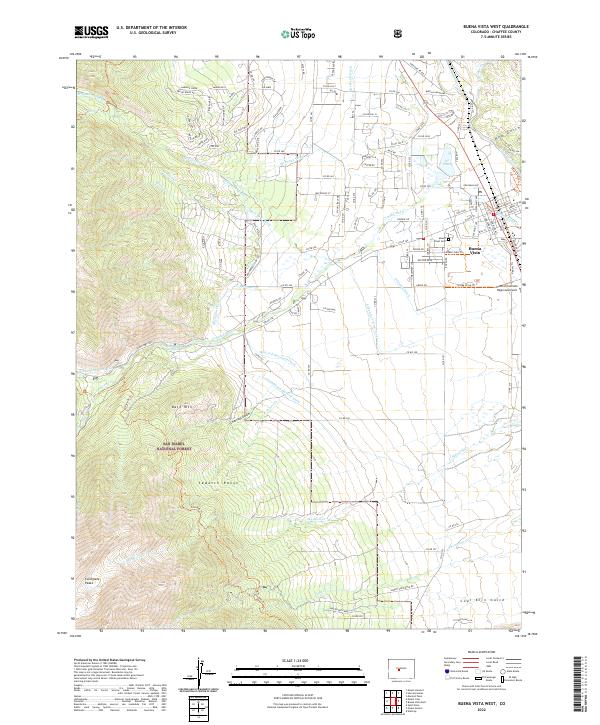
1982 Buena Vista West
Chaffee County, CO
1982 Harvard Lakes
Chaffee County, CO
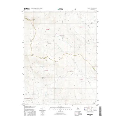
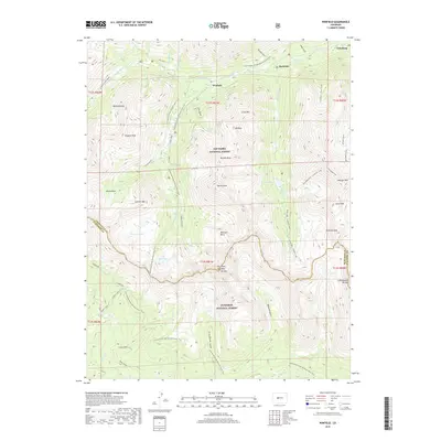
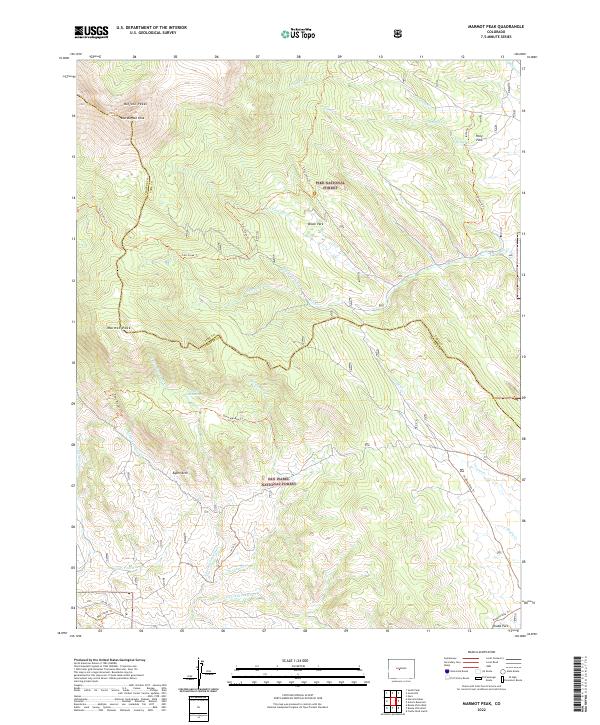
1982 Marmot Peak
Chaffee County, CO
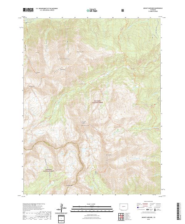
1982 Mount Harvard
Chaffee County, CO
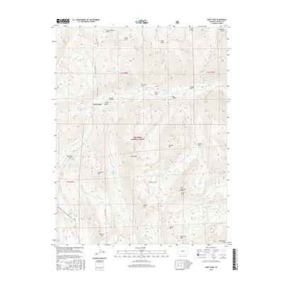
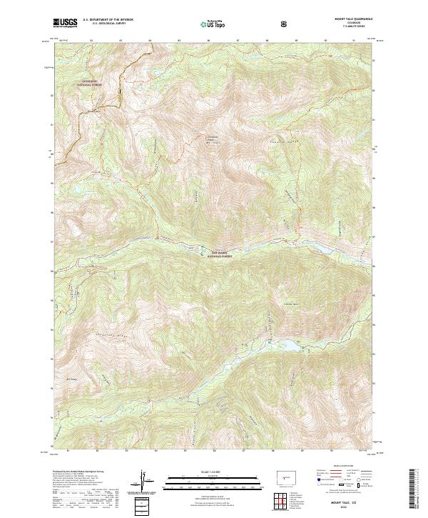
1982 Mount Yale
Chaffee County, CO
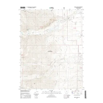
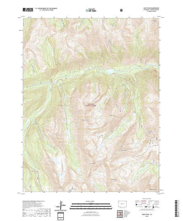
1982 Saint Elmo
Chaffee County, CO
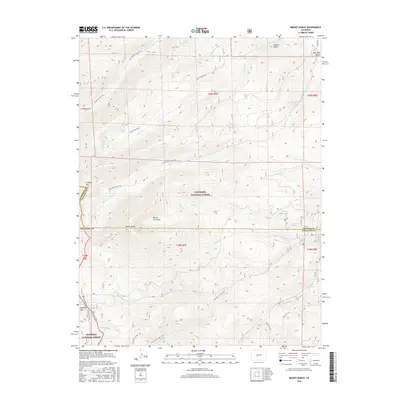
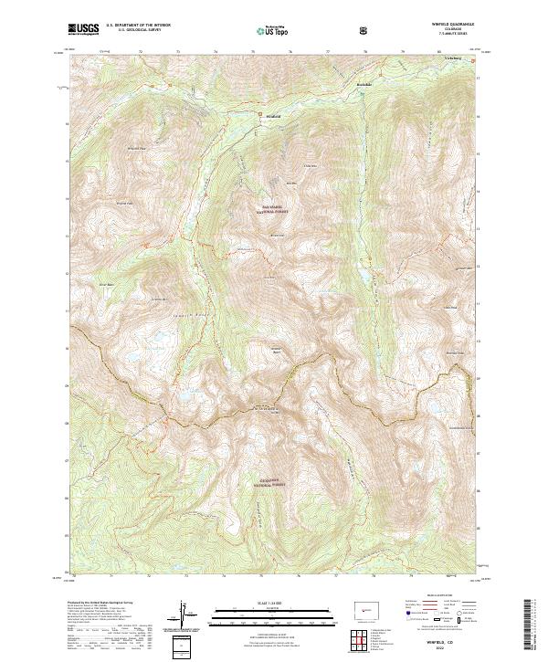
1982 Winfield
Chaffee County, CO
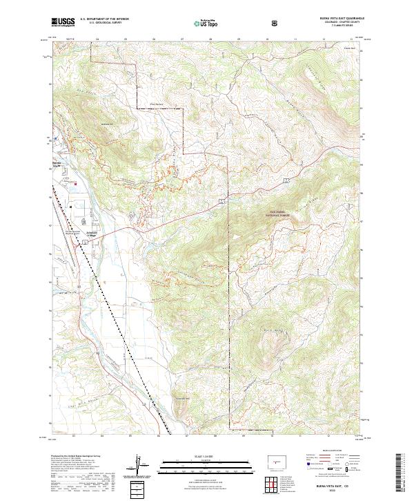
1983 Buena Vista East
Chaffee County, CO
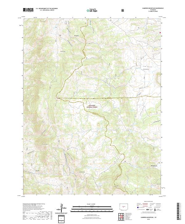
1983 Cameron Mountain
Chaffee County, CO
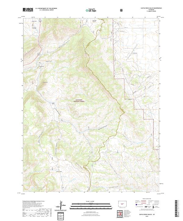
1983 Castle Rock Gulch
Chaffee County, CO
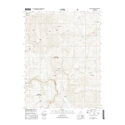
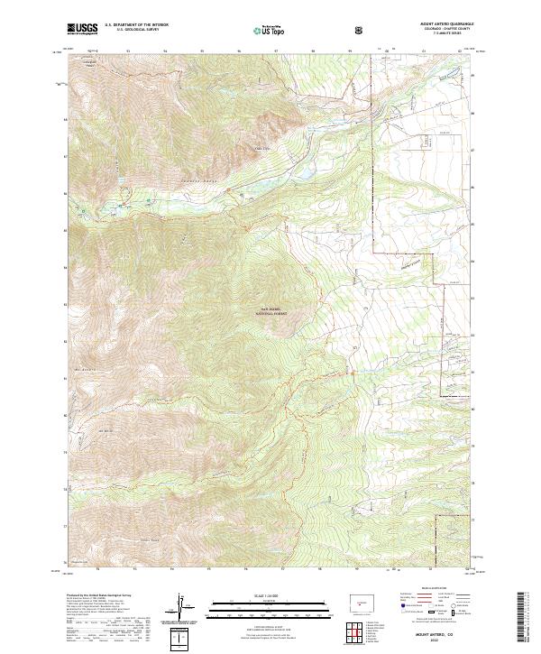
1983 Mount Antero
Chaffee County, CO
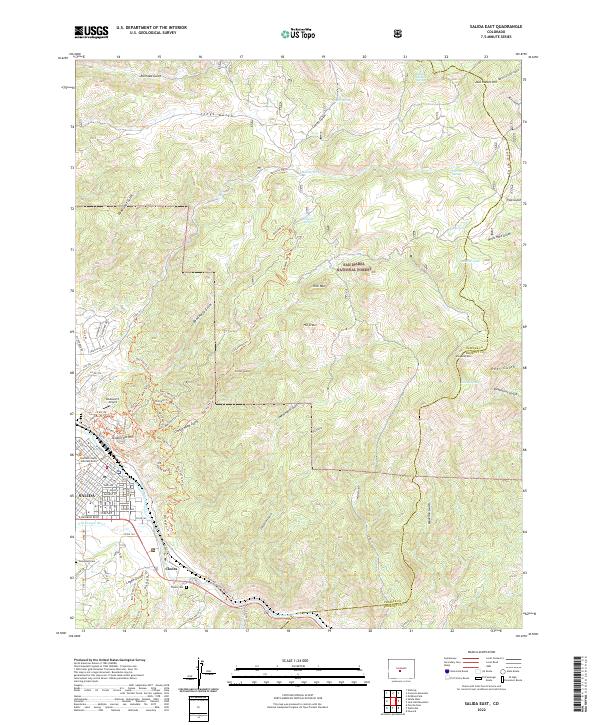
1983 Salida East
Chaffee County, CO
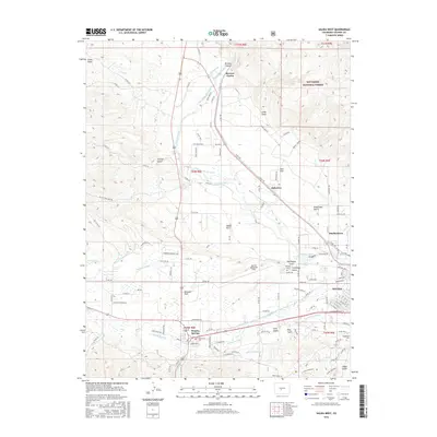
1983 Salida West
Chaffee County, CO

1994 Buena Vista East
Chaffee County, CO
1994 Buena Vista West
Chaffee County, CO
1994 Cameron Mountain
Chaffee County, CO
1994 Castle Rock Gulch
Chaffee County, CO
1994 Harvard Lakes
Chaffee County, CO
1994 Marmot Peak
Chaffee County, CO
1994 Mount Antero
Chaffee County, CO
1994 Mount Harvard
Chaffee County, CO
1994 Mount Ouray
Chaffee County, CO
1994 Mount Yale
Chaffee County, CO
1994 Saint Elmo
Chaffee County, CO
1994 Salida East
Chaffee County, CO
1994 Salida West
Chaffee County, CO
1994 Winfield
Chaffee County, CO
2011 Buena Vista East
Chaffee County, CO
2011 Buena Vista West
Chaffee County, CO
2011 Cameron Mountain
Chaffee County, CO

2011 Castle Rock Gulch
Chaffee County, CO
2011 Harvard Lakes
Chaffee County, CO
2011 Marmot Peak
Chaffee County, CO
2011 Mount Antero
Chaffee County, CO
2011 Mount Harvard
Chaffee County, CO
2011 Mount Ouray
Chaffee County, CO
2011 Mount Yale
Chaffee County, CO
2011 Saint Elmo
Chaffee County, CO
2011 Salida East
Chaffee County, CO
2011 Salida West
Chaffee County, CO

2011 Winfield
Chaffee County, CO
2013 Buena Vista East
Chaffee County, CO
2013 Buena Vista West
Chaffee County, CO
2013 Cameron Mountain
Chaffee County, CO
2013 Castle Rock Gulch
Chaffee County, CO
2013 Harvard Lakes
Chaffee County, CO
2013 Marmot Peak
Chaffee County, CO
2013 Mount Antero
Chaffee County, CO
2013 Mount Harvard
Chaffee County, CO
2013 Mount Ouray
Chaffee County, CO
2013 Mount Yale
Chaffee County, CO
2013 Saint Elmo
Chaffee County, CO
2013 Salida East
Chaffee County, CO
2013 Salida West
Chaffee County, CO
2013 Winfield
Chaffee County, CO
2016 Buena Vista East
Chaffee County, CO
2016 Buena Vista West
Chaffee County, CO
2016 Cameron Mountain
Chaffee County, CO
2016 Castle Rock Gulch
Chaffee County, CO
2016 Harvard Lakes
Chaffee County, CO
2016 Marmot Peak
Chaffee County, CO
2016 Mount Antero
Chaffee County, CO
2016 Mount Harvard
Chaffee County, CO
2016 Mount Ouray
Chaffee County, CO
2016 Mount Yale
Chaffee County, CO
2016 Saint Elmo
Chaffee County, CO
2016 Salida East
Chaffee County, CO
2016 Salida West
Chaffee County, CO
2016 Winfield
Chaffee County, CO
2019 Buena Vista East
Chaffee County, CO
2019 Buena Vista West
Chaffee County, CO
2019 Cameron Mountain
Chaffee County, CO
2019 Castle Rock Gulch
Chaffee County, CO
2019 Harvard Lakes
Chaffee County, CO
2019 Marmot Peak
Chaffee County, CO
2019 Mount Antero
Chaffee County, CO
2019 Mount Harvard
Chaffee County, CO
2019 Mount Ouray
Chaffee County, CO
2019 Mount Yale
Chaffee County, CO
2019 Saint Elmo
Chaffee County, CO
2019 Salida East
Chaffee County, CO
2019 Salida West
Chaffee County, CO
2019 Winfield
Chaffee County, CO
2022 Buena Vista East
Chaffee County, CO
2022 Buena Vista West
Chaffee County, CO
2022 Cameron Mountain
Chaffee County, CO
2022 Castle Rock Gulch
Chaffee County, CO
2022 Harvard Lakes
Chaffee County, CO
2022 Marmot Peak
Chaffee County, CO
2022 Mount Antero
Chaffee County, CO
2022 Mount Harvard
Chaffee County, CO
2022 Mount Ouray
Chaffee County, CO
2022 Mount Yale
Chaffee County, CO
2022 Saint Elmo
Chaffee County, CO
2022 Salida East
Chaffee County, CO
2022 Winfield
Chaffee County, CO
2023 Salida West
Chaffee County, CO