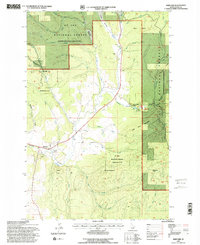
1994 Map of Harvard
USGS Topo · Published 1997About this map
Harvard sits along the northern banks of the Palouse River, serving as a central point of settlement in this northern Idaho landscape. The town is situated at the intersection of the Burlington Northern railroad and the river valley, marking a key transport corridor between the high timberlands and the lowlands. Much of the surrounding terrain is dominated by the St Joe National Forest, where the topography rises sharply toward peaks like Mount Margaret and Flynn Butte.
Find a feature on this map
47 named features on this map. Tap any name to fly to it.
Don’t see what you’re looking for? This feature index may not catch every label — zoom into the map to look around manually.
Map Details
Editions of this 1994 Harvard Map
2 editions found
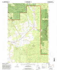
Other maps of this area

1955 · Pullman
USGS Topo · 1:250,000

1955 · Spokane
USGS Topo · 1:250,000

1957 · Emida
USGS Topo · 1:62,500

1957 · Tensed
USGS Topo · 1:62,500

1958 · Spokane
USGS Topo · 1:250,000

1958 · Pullman
USGS Topo · 1:250,000

1960 · Moscow Mtn
USGS Topo · 1:24,000

1960 · Potlatch
USGS Topo · 1:62,500

1961 · Deary
USGS Topo · 1:62,500

1981 · St Maries
USGS Topo · 1:100,000