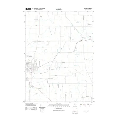
2012 Map of Harvard
USGS Topo · Published 2012About this map
Harvard serves as the primary municipal center in this section of McHenry County, where established street grids meet the sprawling agricultural landscape of northern Illinois. The terrain is defined by the winding course of the N Br Kishwaukee River and several smaller tributaries like Mokeler Cr and Rush Cr that drain the fertile till plains. Near the Wisconsin border, the small settlement of Big Foot Prairie sits along State Line Rd, while the village of Alden anchors the eastern side of the map near the Alden Sedge Mdw. This 2012 survey captures a mix of traditional dairy country and modern agricultural operations, including the Royal Oak Farm and Fruit Orchard and specialized sites like the Clemmons Horse Farm. Family and local history are preserved in several rural burial grounds such as Saint Joseph Cem and Jerome Cem, located just outside the growing residential outskirts of the city.
Find a feature on this map
70 named features on this map. Tap any name to fly to it.
Don’t see what you’re looking for? This feature index may not catch every label — zoom into the map to look around manually.
Map Details
Editions of this 2012 Harvard Map
This is the sole edition of this map. No revisions or reprints were ever made.
Other maps of this area

1893 · Delavan
USGS Topo · 1:62,500

1893 · Geneva
USGS Topo · 1:62,500

1904 · Lake Geneva
USGS Topo · 1:62,500

1906 · Lake Geneva
USGS Topo · 1:62,500

1926 · Mc Henry
USGS Topo · 1:62,500

1932 · Harvard
USGS Topo · 1:48,000

1937 · Harvard
USGS Topo · 1:62,500

1944 · McHenry
USGS Topo · 1:62,500

1954 · Rockford
USGS Topo · 1:250,000

1955 · Rockford
USGS Topo · 1:250,000