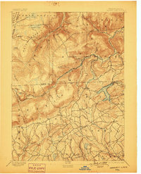
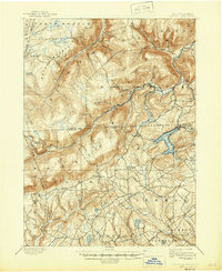
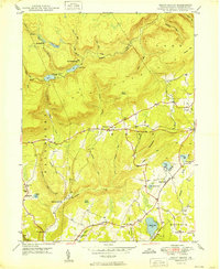
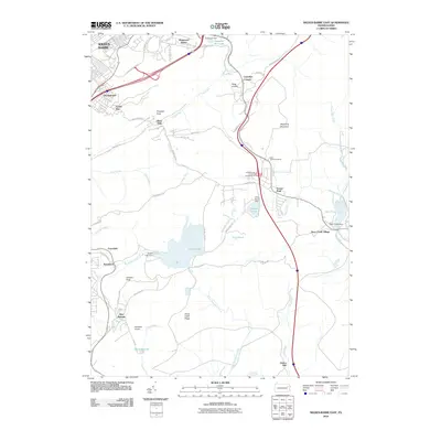
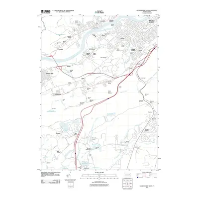
1893 Map of Harvey Lake
USGS Topo · Published 1899About this map
Dutch Mountain and North Mountain dominate the topography of this corner of Luzerne and Wyoming counties, where the high plateaus of the Endless Mountains meet early industrial corridors. The local economy in the late nineteenth century was clearly driven by timber and transport, evidenced by the presence of the Lewis Lumber R.R. and the Lehigh Valley R.R. cutting through the narrow valleys. These rail lines followed watercourses like Bowman Creek and Mehoopany Creek, facilitating the movement of resources from remote camps to larger markets.
Find a feature on this map
88 named features on this map. Tap any name to fly to it.
Don’t see what you’re looking for? This feature index may not catch every label — zoom into the map to look around manually.
Map Details
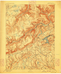
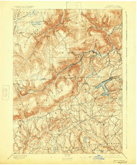
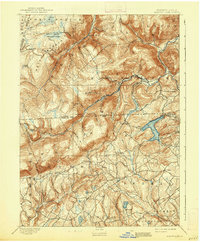
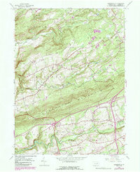
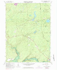
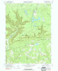
Editions of this 1893 Harvey Lake Map
6 editions found

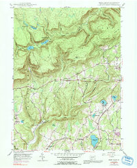
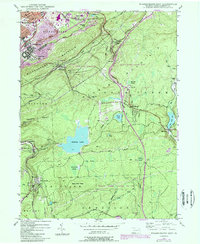
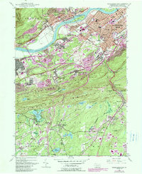
Historical Maps of Dallas Township Through Time
50 maps found
1893 Harvey Lake
Luzerne County, PA
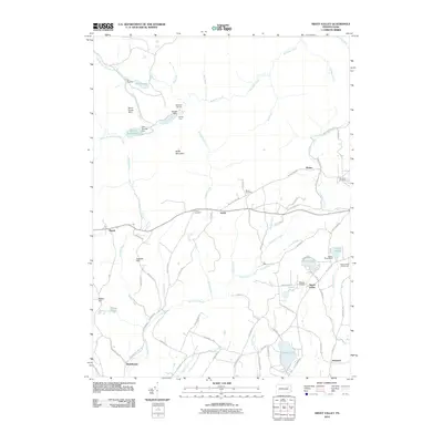
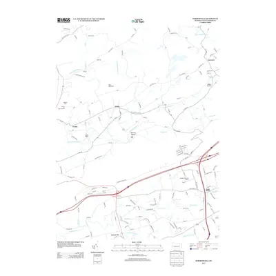
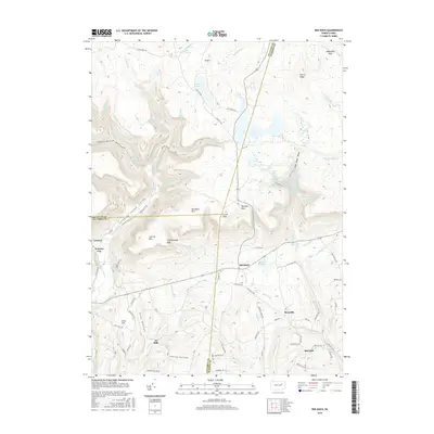
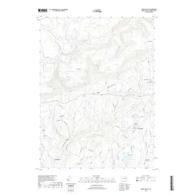
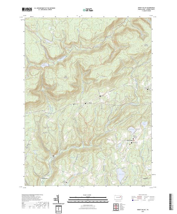
1946 Sweet Valley
Luzerne County, PA

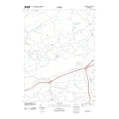
1946 Sybertsville
Luzerne County, PA
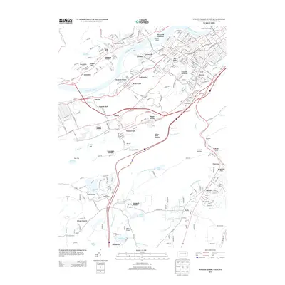
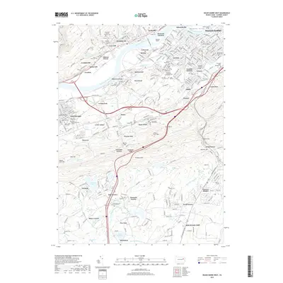
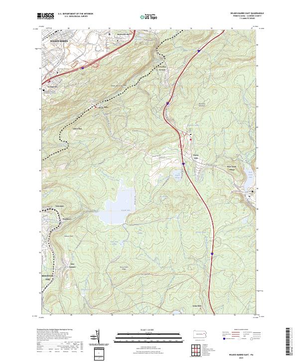
1947 Wilkes-Barre East
Luzerne County, PA
1947 Wilkes-Barre West
Luzerne County, PA
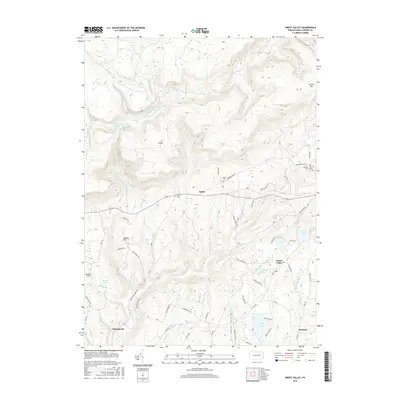
1949 Sweet Valley
Luzerne County, PA

1950 Wilkes-Barre East
Luzerne County, PA

1950 Wilkes-Barre West
Luzerne County, PA
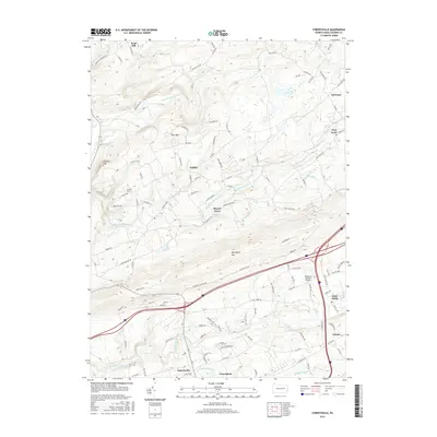
1955 Sybertsville
Luzerne County, PA
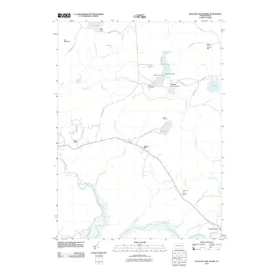
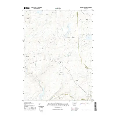
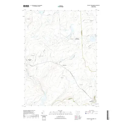
1965 Pleasant View Summit
Luzerne County, PA
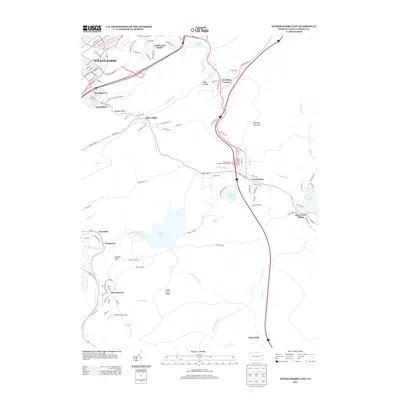
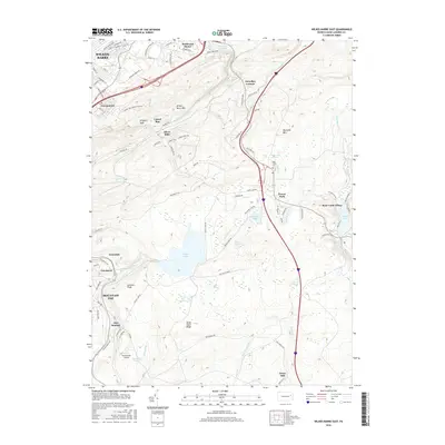
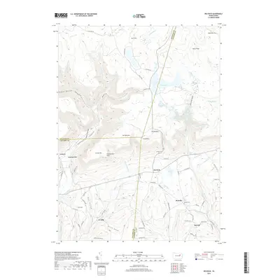
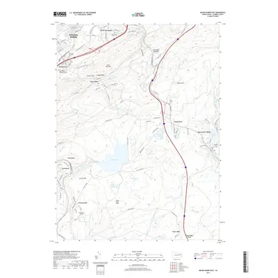
1969 Red Rock
Luzerne County, PA

1976 Pleasant View Summit
Luzerne County, PA

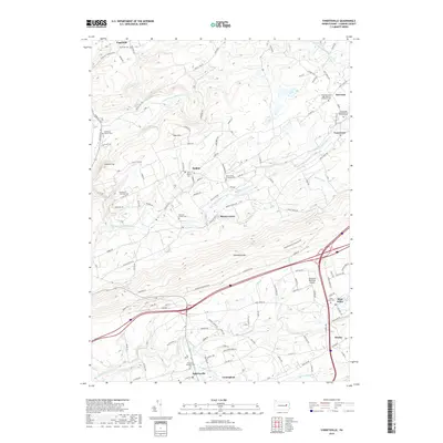
1976 Sybertsville
Luzerne County, PA

1976 Wilkes-Barre East
Luzerne County, PA

1976 Wilkes-Barre West
Luzerne County, PA

1992 Pleasant View Summit
Luzerne County, PA

1994 Wilkes-Barre East
Luzerne County, PA

1995 Red Rock
Luzerne County, PA

1997 Pleasant View Summit
Luzerne County, PA

1999 Wilkes-Barre East
Luzerne County, PA
2010 Pleasant View Summit
Luzerne County, PA

2010 Red Rock
Luzerne County, PA
2010 Sweet Valley
Luzerne County, PA
2010 Sybertsville
Luzerne County, PA
2010 Wilkes-Barre East
Luzerne County, PA
2010 Wilkes-Barre West
Luzerne County, PA
2013 Pleasant View Summit
Luzerne County, PA
2013 Red Rock
Luzerne County, PA
2013 Sweet Valley
Luzerne County, PA
2013 Sybertsville
Luzerne County, PA
2013 Wilkes-Barre East
Luzerne County, PA
2013 Wilkes-Barre West
Luzerne County, PA
2016 Pleasant View Summit
Luzerne County, PA
2016 Red Rock
Luzerne County, PA
2016 Sweet Valley
Luzerne County, PA
2016 Sybertsville
Luzerne County, PA
2016 Wilkes-Barre East
Luzerne County, PA

2016 Wilkes-Barre West
Luzerne County, PA
2019 Pleasant View Summit
Luzerne County, PA
2019 Red Rock
Luzerne County, PA
2019 Sweet Valley
Luzerne County, PA
2019 Sybertsville
Luzerne County, PA
2019 Wilkes-Barre East
Luzerne County, PA
2019 Wilkes-Barre West
Luzerne County, PA

2023 Pleasant View Summit
Luzerne County, PA

2023 Red Rock
Luzerne County, PA
2023 Sweet Valley
Luzerne County, PA

2023 Sybertsville
Luzerne County, PA
2023 Wilkes-Barre East
Luzerne County, PA

2023 Wilkes-Barre West
Luzerne County, PA