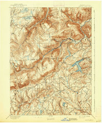
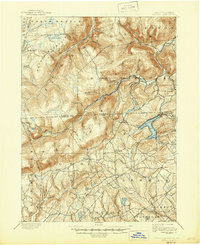
1893 Map of Harvey Lake
USGS Topo · Published 1938About this map
Harvey Lake dominates the central landscape of this 1891 survey, serving as a focal point for the surrounding settlements of Laketon, Idetown, and Alderson. The rugged terrain of the Endless Mountains region is defined by the massive crests of Dutch Mountain and North Mountain, which drop sharply into deep ravines carved by Bowman Creek and Mehoopany Creek. These waterways, along with numerous high-altitude wetlands like Tamarack Swamp and Grove Swamp, dictated the early placement of mountain roads and small hamlets.
Find a feature on this map
76 named features on this map. Tap any name to fly to it.
Don’t see what you’re looking for? This feature index may not catch every label — zoom into the map to look around manually.
Map Details
Editions of this 1893 Harvey Lake Map
6 editions found
Other maps of this area

1891 · Wilkesbarre
USGS Topo · 1:62,500

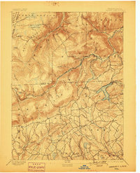
1891 · Harveys Lake
USGS Topo · 1:62,500

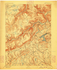
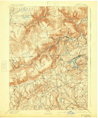
1893 · Harvey Lake
USGS Topo · 1:62,500

1893 · Pittston
USGS Topo · 1:62,500

1894 · Shickshinny
USGS Topo · 1:62,500

1894 · Bloomsburg
USGS Topo · 1:62,500

1894 · Wilkesbarre
USGS Topo · 1:62,500

1934 · Laporte
USGS Topo · 1:62,500

1943 · Scranton
USGS Topo · 1:125,000

1943 · Monroeton
USGS Topo · 1:62,500