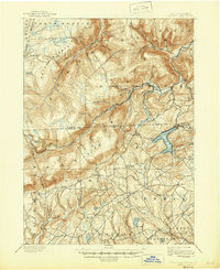
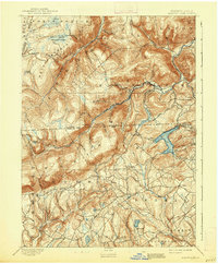
1893 Map of Harvey Lake
USGS Topo · Published 1946About this map
Harvey Lake and its surrounding mountain townships define this late 19th-century landscape on the edge of the Wyoming Valley. In the 1890s, the Lehigh Valley R.R. provided a vital transportation link through the rugged northern hills, serving the lakeside community of Alderson and the industrial activity at Noxen. The presence of Outlet Sta and numerous small settlements like Sweet Valley and Idetown illustrates a transition from timber-heavy upland environments to established farming and resort communities. To the south, family-named locales such as Rittenhouse, Cease Mills, and Prichard highlight the early rural development patterns of Luzerne and Wyoming counties. The topography is dominated by massive features like Dutch Mountain and drained by an intricate network of waterways including Mehoopany Creek and Hunlock Creek, reflecting the challenging geography that shaped early Pennsylvania settlement and industry.
Find a feature on this map
82 named features on this map. Tap any name to fly to it.
Don’t see what you’re looking for? This feature index may not catch every label — zoom into the map to look around manually.
Map Details
Editions of this 1893 Harvey Lake Map
6 editions found
Other maps of this area

1891 · Wilkesbarre
USGS Topo · 1:62,500

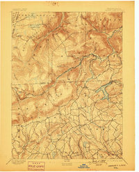
1891 · Harveys Lake
USGS Topo · 1:62,500

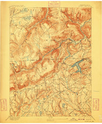
1893 · Harvey Lake
USGS Topo · 1:62,500

1893 · Pittston
USGS Topo · 1:62,500

1894 · Shickshinny
USGS Topo · 1:62,500

1894 · Bloomsburg
USGS Topo · 1:62,500

1894 · Wilkesbarre
USGS Topo · 1:62,500

1934 · Laporte
USGS Topo · 1:62,500

1943 · Scranton
USGS Topo · 1:125,000

1943 · Monroeton
USGS Topo · 1:62,500