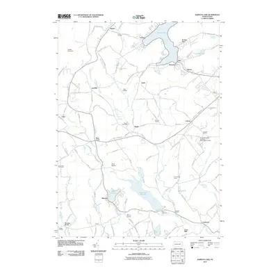
2010 Map of Harveys Lake
USGS Topo · Published 2010About this map
Harveys Lake and its surrounding glacial terrain define this corner of Luzerne County, characterized by a series of high-elevation water bodies and established small settlements. The area shows a transition from the dense residential clusters of Shawanese and Laketon at the lake's edge to the educational grounds of the Pennsylvania State University - Wilkes-Barre Campus near Lehman. Significant infrastructure for water management is visible at the Pikes Creek Reservoir, secured by the Pikes Creek Dam, and further south at Moon Lake. Local history is deeply embedded in the landscape through numerous family and community burial grounds, including Kocher Cemetery and Saint Anns Cemetery. The rural character of the region in the early 21st century is further marked by small aviation facilities like Lehman Airport and Countryside Airport, while the legacy of early industry persists in place names such as Cease Mills along Harveys Creek.
Find a feature on this map
106 named features on this map. Tap any name to fly to it.
Don’t see what you’re looking for? This feature index may not catch every label — zoom into the map to look around manually.
Map Details
Editions of this 2010 Harveys Lake Map
This is the sole edition of this map. No revisions or reprints were ever made.
Other maps of this area

1891 · Wilkesbarre
USGS Topo · 1:62,500

1891 · Harveys Lake
USGS Topo · 1:62,500

1893 · Harvey Lake
USGS Topo · 1:62,500

1893 · Pittston
USGS Topo · 1:62,500

1894 · Shickshinny
USGS Topo · 1:62,500

1894 · Wilkesbarre
USGS Topo · 1:62,500

1943 · Scranton
USGS Topo · 1:125,000

1946 · Nanticoke
USGS Topo · 1:31,680

1946 · Shickshinny
USGS Topo · 1:31,680

1946 · Kingston
USGS Topo · 1:24,000
Featured Places
- Dallas Township, PA
- Lehman Township, PA
- Harveys Lake, PA
- Hunlock Township, PA
- Roaring Brook, Hunlock Township