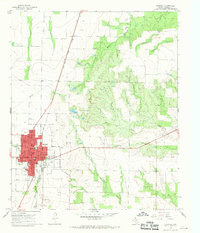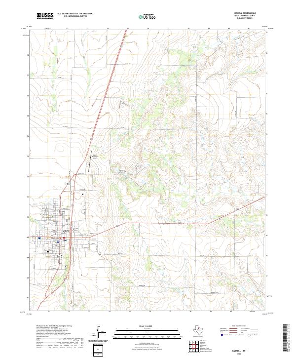
1985 Map of Haskell
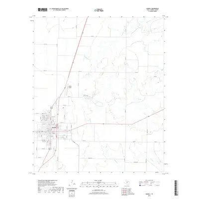
USGS Topo · Published 1992About this map
Haskell Oil Field and numerous other scattered oil fields define the economic landscape of this North Texas region during the mid-1980s. The terrain is a mix of flat agricultural lands and the broken country surrounding the Brazos River and its Double Mountain Fork. Transportation relies heavily on the Atchison Topeka and Santa Fe Railroad, which connects established shipping points like Munday, Knox City, and Rochester. Water management is prominent in the eastern half of the map, centered on the Millers Creek Reservoir. Local geography is punctuated by distinctive landforms such as Hay Rick Mountain and Buzzard Peak, while smaller communities like Rule, Weinert, and Sagerton serve as rural hubs within Haskell and Throckmorton counties.
Find a feature on this map
97 named features on this map. Tap any name to fly to it.
Don’t see what you’re looking for? This feature index may not catch every label — zoom into the map to look around manually.
Map Details
Editions of this 1985 Haskell Map
2 editions found
Historical Maps of Stamford Through Time
7 maps found