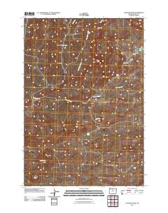
2011 Map of Hastings Peak
USGS Topo · Published 2011About this map
Hastings Peak and Maupin Butte anchor the southern reaches of this Wasco County landscape, rising above a network of seasonal water bodies and ranching outposts. This 2011 survey details the remote high-desert character of the region, where drainage patterns from Sorefoot Creek and Long Hollow Creek define the movement across the terrain. Human presence is sparse but concentrated at locations like Sorefoot Ranch and Middle Camp, points of interest for those tracing the modern agricultural use of the land.
Find a feature on this map
16 named features on this map. Tap any name to fly to it.
Don’t see what you’re looking for? This feature index may not catch every label — zoom into the map to look around manually.
Map Details
Editions of this 2011 Hastings Peak Map
This is the sole edition of this map. No revisions or reprints were ever made.
Other maps of this area

1916 · Condon
USGS Topo · 1:125,000

1926 · Mitchell
USGS Topo · 1:125,000

1953 · The Dalles
USGS Topo · 1:250,000

1955 · Bend
USGS Topo · 1:250,000

1956 · The Dalles
USGS Topo · 1:250,000

1957 · Bend
USGS Topo · 1:250,000

1957 · The Dalles
USGS Topo · 1:250,000

1958 · Bend
USGS Topo · 1:250,000

1966 · Antelope
USGS Topo · 1:62,500

1966 · Clarno
USGS Topo · 1:62,500